
This is part 1 of 2 of the story of our two-week-long hike from Suorva to Kvikjokk through Sarek in late August and early September 2022.
Prologue
I have previously done a North-South tour of Sarek, which I have written about here, and so the aim for this trip was to explore new areas in the East-West direction. Since in my last hike, I connected Saltoluokta with Ritsem, I knew I wanted to connect Suorva with Kvikkjokk thereby exhausting all entry points into Sarek. In planning the hike I mainly used Claes Grundsten's and Hans Fowelin's books together with many great articles and discussions here on Utsidan.
The story starts on the morning of the day before the hike in London. We caught the early flight to Stockholm and arrived there in the early afternoon luckily without any delays. We now had some time to grab lunch and most importantly to buy some gas which you are unable to transport on a plane. Finding somewhere to buy gas in Stockholm is of course not an issue and there is plenty of stock to choose from. We then made our way to the train station to catch the famous night train to Gallivare.
As an aside, I want to add a paragraph about my perpetual struggles with buying gas for any hiking trip. I try to take a very deliberate and scientific approach to calculate how much gas we will need for any given trip. During our last trip to Sarek, I logged that we used a 450g canister in exactly 9 days for four people, that is 50g per day. Since now it would be only two of us, I made a conservative guess and planned with 40g per day for two people. For a two-week hike, this would mean 560g of fuel and so I planned to buy 2x 230g + 1x 100g canisters. When we actually get to the shop in Stockholm I start doubting myself and buy an extra 100g canister. I do this every time! Of course, in the end, our actual usage on this trip was 28g per day for two people so we were left with a lot of extra gas at the end. I need to start trusting my estimates...
We boarded the night train and found our cabin which we shared with a family of three. I have to say that these carriages are due a refurbishment and they smelled exactly like the odour of generations of hikers soaked into all the fabrics. We departed on time and the whole journey went very smoothly so, in the end, I don't have much to complain about. I even got some decent sleep. Surprisingly, we arrived exactly on time in Gallivere where we had to wait a bit for the bus to come. We got off the bus in Suorva around noon and were the only ones to disembark there. The weather is cold but sunny.
I will not attach a map here as I have struggled to generate one that is easily readable with the path indicated on it. To those who are interested, I uploaded the hike to Strava here where you can follow along.
Day 1: Suorva - Njavvejagasj
After getting off the bus we found the gate of the dam and started hiking along the road. When we got to the other side, we decided to take the higher route that starts with a walk across the enclosed reindeer fences. The beginning of this path was quite easy to find and is well marked. It then winds through the dense birch forest for several kilometres. The further one gets, the less well-defined the path is so it becomes difficult to follow it. Somewhere around 650m we lose the path and so we have to find our own way through the vegetation. It is not too long before we emerge from the trees and are greeted with a great view towards the big lakes.
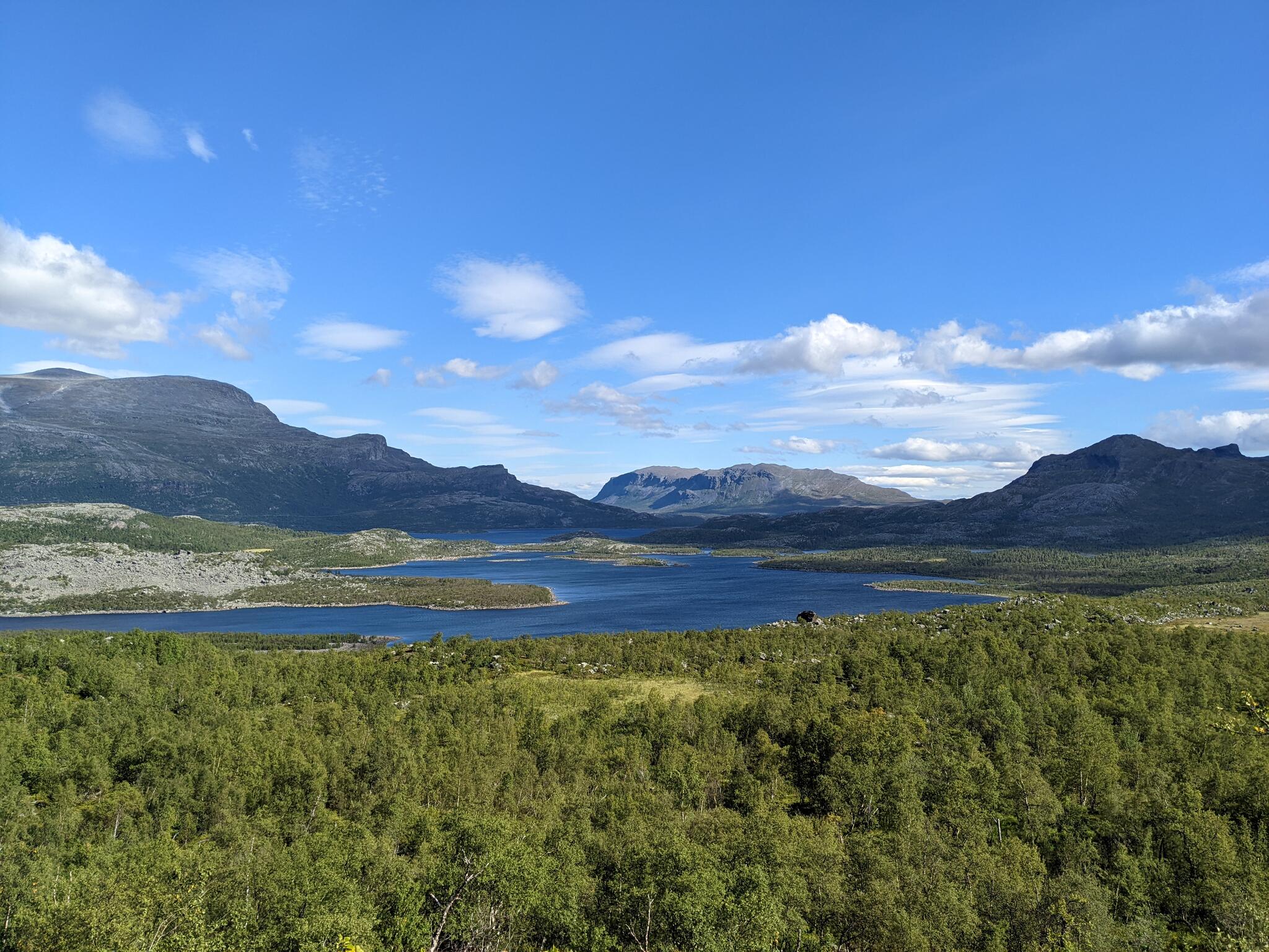
The view towards Gartjejavrre.
We then continue through the open landscape towards Njavvejagasj which we approach at around 800m altitude. The water level seems quite high but it seems possible so we decide to attempt to wade it and camp on the other side of the river. The crossing is difficult, but successful in the end and we set up camp on the southern bank of the river with a great view of Slugga.
Slugga as seen from our campsite at Njavvejagasj.
Day 2: Njavvejagasj - Vuojnesvarasj
After a very cold and clear night, we wake up to the heat of the sun. We quickly pack up and set off as we want to cover a lot of distance this day to take advantage of the good weather. I have read that the terrain lower in the valley can get very bushy so we aim to keep our height as we round Njavvebuollda. Looking back, I think we actually kept too high at around 950m, maybe a bit lower would have been fine too. At this height, the terrain is difficult as there are many bumps one has to go over or around with the occasional rocky terrain.
Bumpy terrain on Njavvebuollda with Slugga in the background.
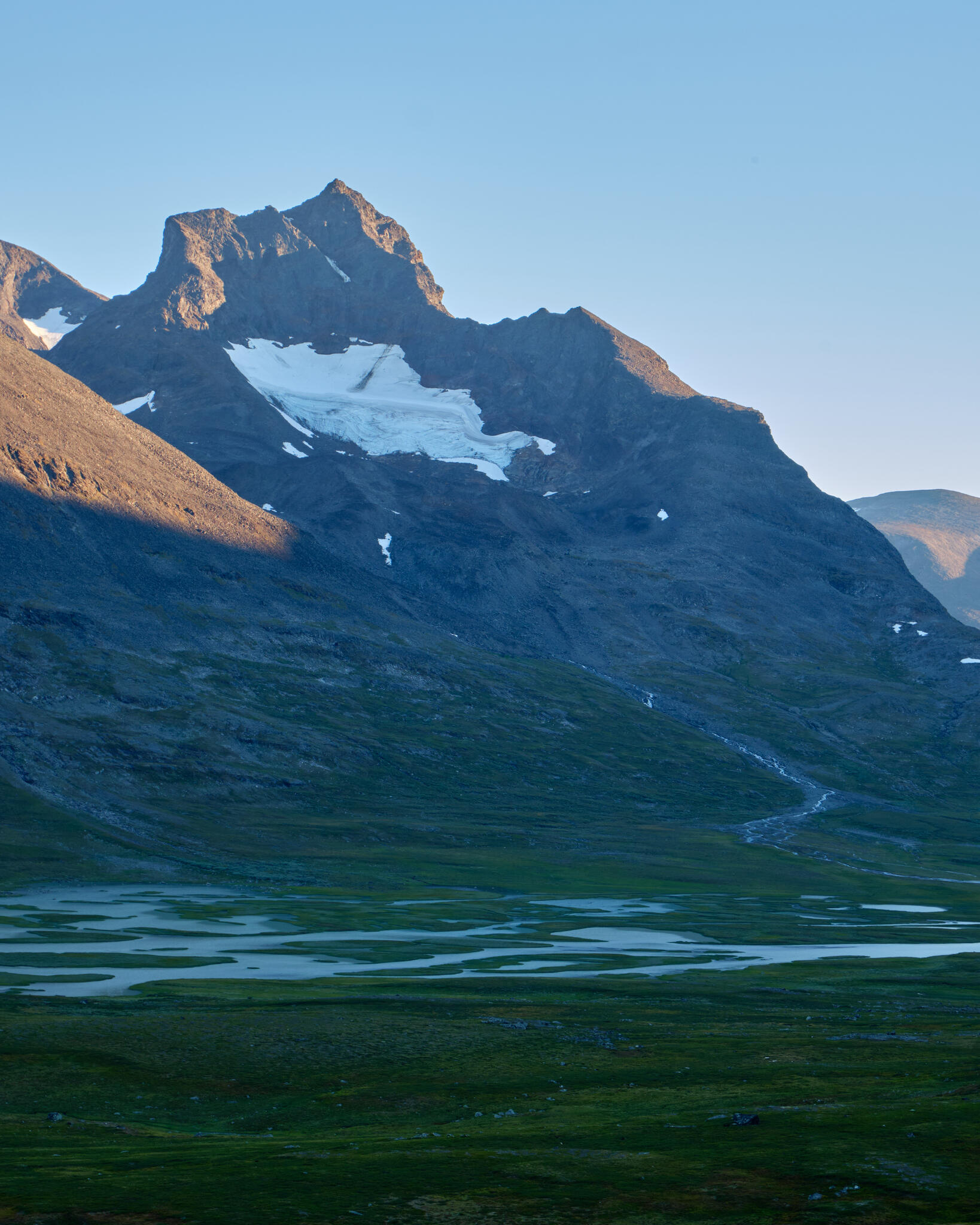
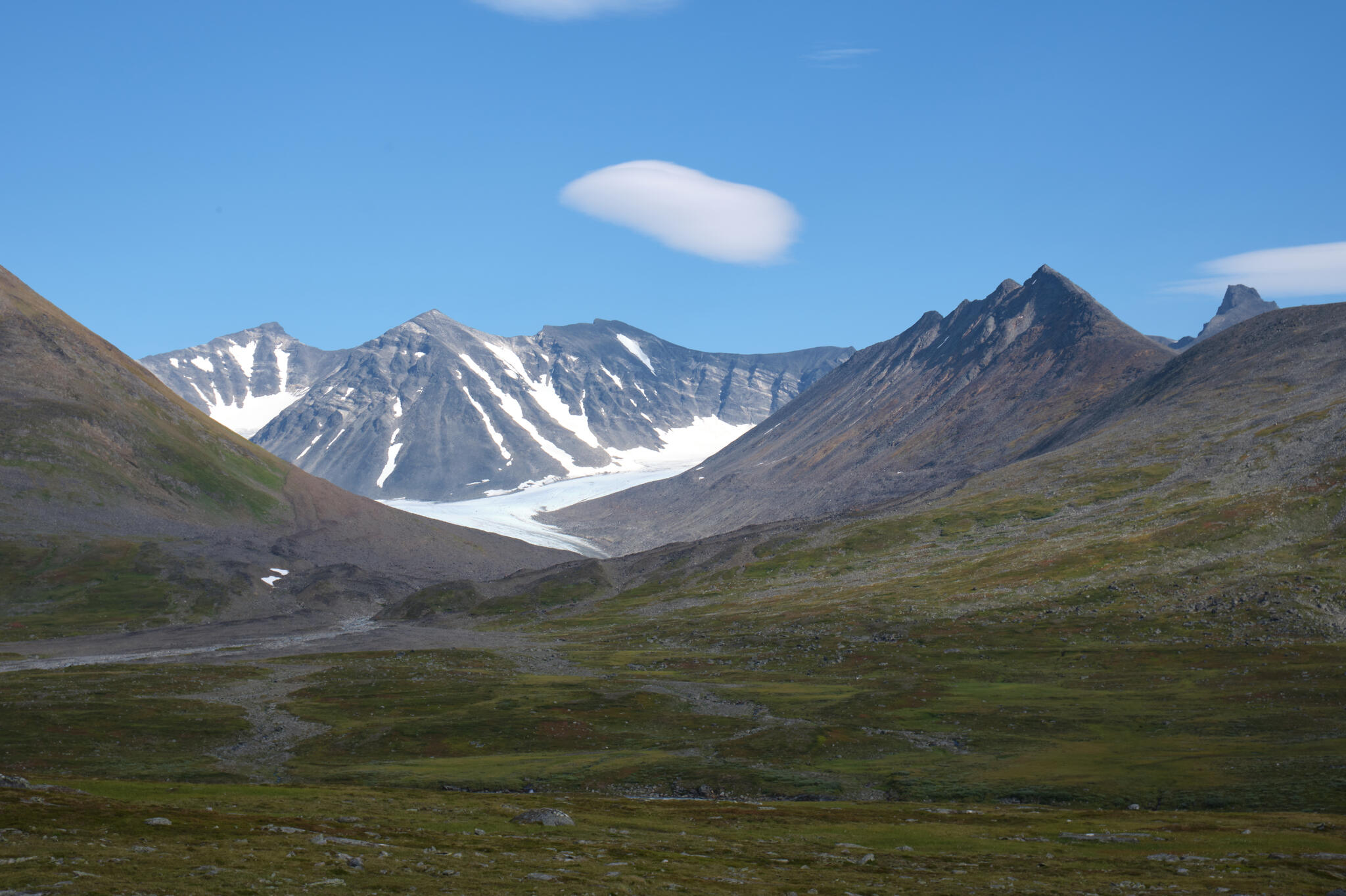
Also, this high up Njavvebuollda, Njiravjagasj has a deep ravine which is difficult to get down to. Regardless, we make it across the river without much difficulty and still keep high until we hit Lulep Niendojagasj. This stretch has occasional stretches of blocky terrain as well so it is sometimes difficult to move fast and can be quite tiring. However, the view towards the Ahpar massif is magnificent.
Towards Lulep Niendojagasj with the Ahpar massif in the background.
After crossing the river, we start going down to Nienndo and round Niendooalgge from the south. The terrain here does not prove too difficult and we find occasional paths that speed things up. Soon we find ourselves at the bridge over Guhkesvakkjahka which takes us officially into Sarek. It is now late afternoon, but we decide to push on and try to find a camping spot high up on Vuojnesvarasj. After an hour of climbing, we eventually find a great spot near a small lake in the saddle between Vuojnesvarasj and Vuojnesskjadde. The view from here towards Bierikvarasj and Ahpar is amazing.
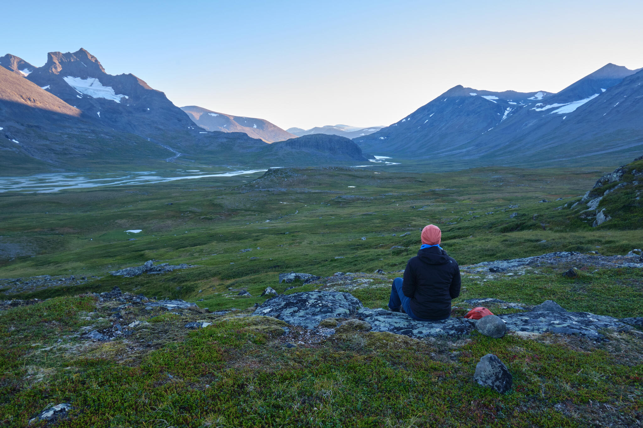
Bierikvarasj and Ahpar as seen from our campsite on Vuojnesvarasj.
The peaks of Ahpar with Bierikjahka in the foreground.
During dinner, I was unexpectedly scared by a small moose which walked less than 10m from our tent. I luckily managed to take a photo. I thought they mostly lived lower in the valleys in the birch forests so I did not expect to see them so high in open terrain.
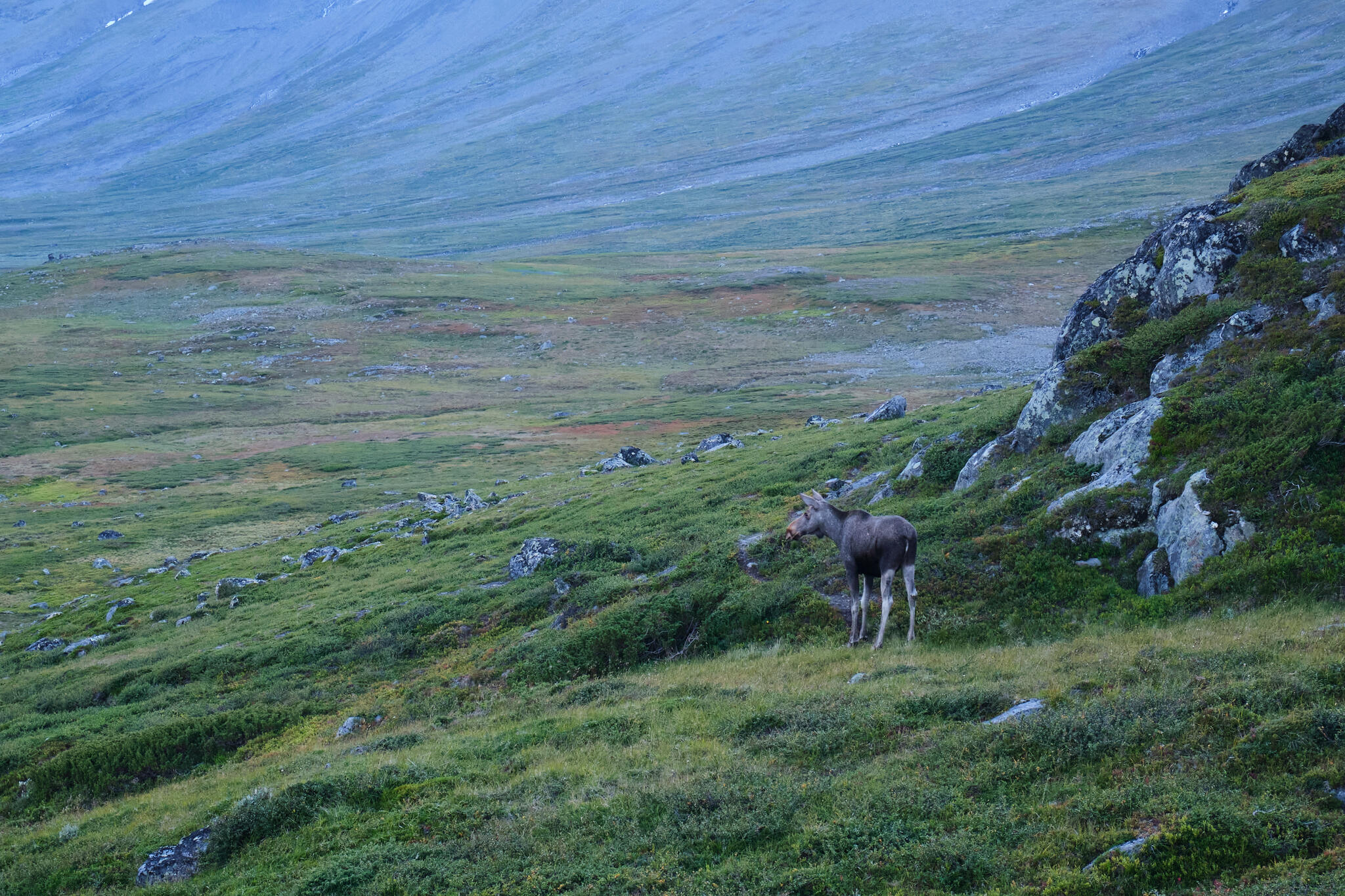
The unexpected moose up on Vuojnesvarasj.
Day 3: Vuojnesvarasj - Tjaggnarisjahka
We are again woken up by the heat of the sun. This is the third consecutive day of sunny weather. After breakfast, we begin our descent toward Bierikjahka. The terrain here is very easy to walk and there are also well-defined paths so we make a lot of progress.
The easy paths towards Bierikjavrre with Bierikvarajs on the left and Sarvatjahkka on the right.
On the north shore of Bierikjavvre there are some places where the boulderfields come all the way to the lake which means these have to be traversed. However, they do not cause too much of an issue. On the southern shore of the lake near its outlet, we decide to have a rest and take a swim in the lake.
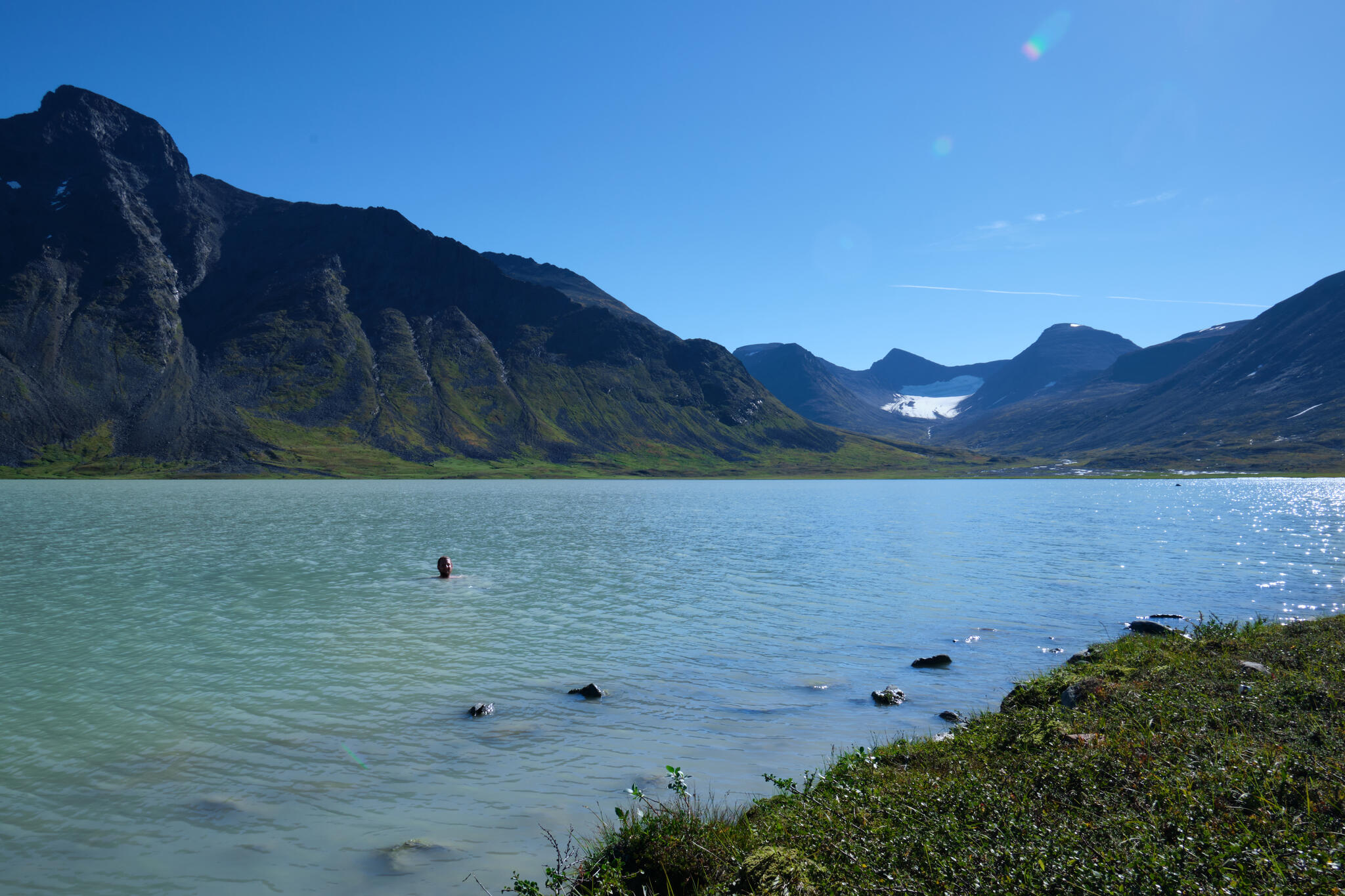
Taking a swim in Bierikjavrre with Ahpar and the glaciers of Skarki in the background.
We then take a turn north and continue towards Tjaggnarisjahka where we plan to camp. This river can sometimes be difficult to cross and due to the warm weather, I was worried that we would have trouble. Upon inspection, we decided that it was fine to cross and so we did. We set up camp on the other side. From here we had an amazing view towards Laddebakte and Rahpaadno. Towards the west, we were greeted with a nice sunset with the distinctive silhouette of Guohper in the distance.
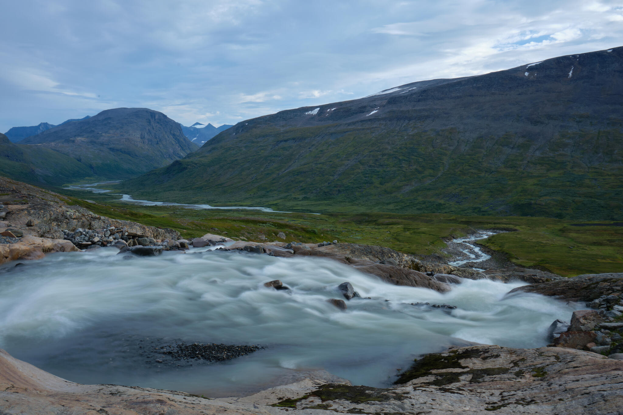
The cascades of Tjaggnarisjahka and Rahpajahka in the distance.
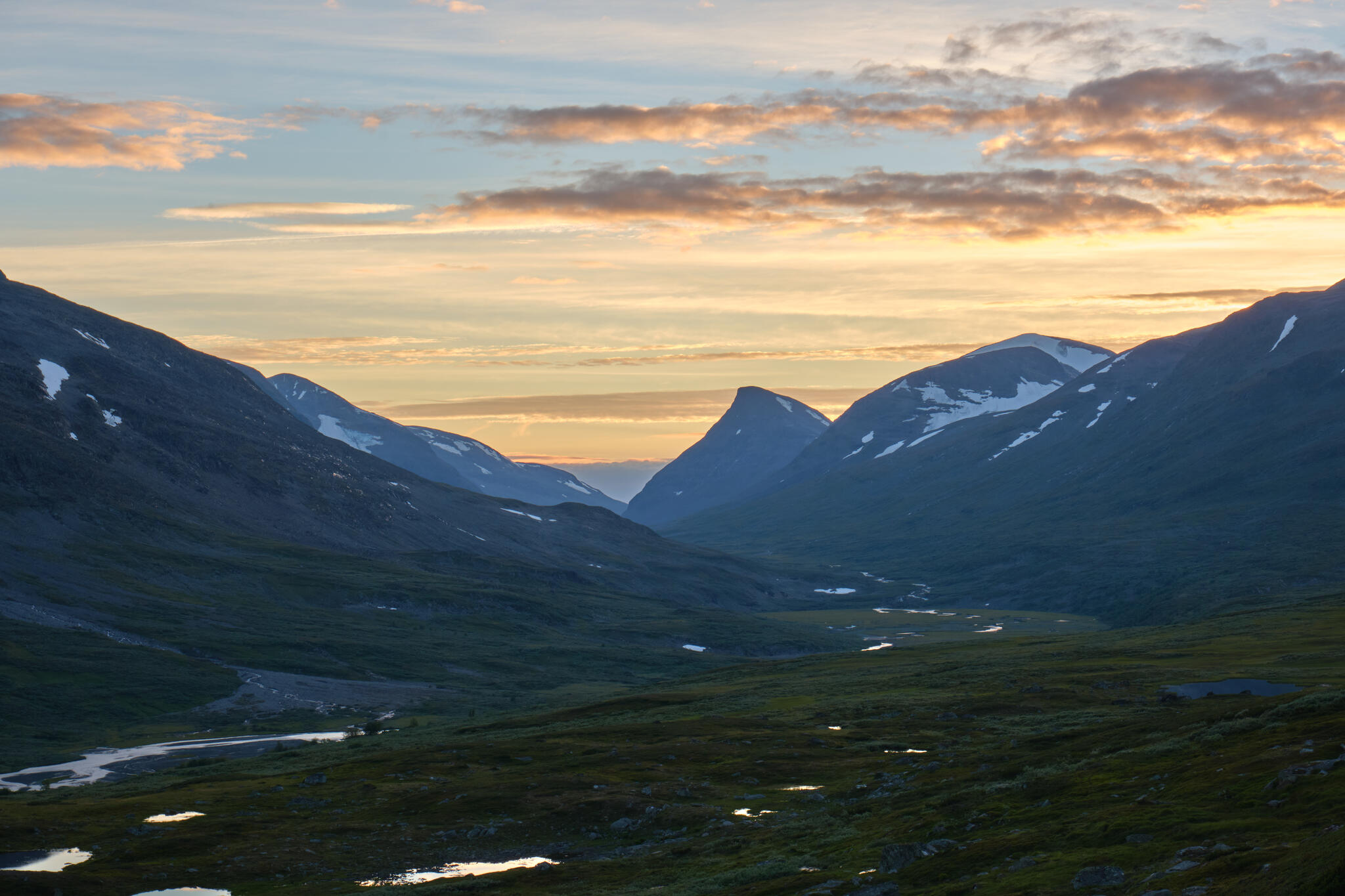
The sunset towards Guohpervagge and the distinctive shape of Guohper.

Laddebakte and Rahpaadno in the sunset.
Day 4: Tjaggnarisjahka-Ahkavagge
This is the first cloudy day, which is quite welcome as the full sun for three days has taken its toll on us. When we emerge from the tent, we are greeted by a herd of reindeer.

A reindeer near Tjaggnarisjahka with Guohpervagge in the background.
We begin the easy hike West towards Skarja where we plan to have breakfast. The last time we did this section, we took a path that was lower down in the valley closer to Rahpajahka, but this time we seem to follow a path that is higher up the valley just under Tjaggnarisoalgge. I prefer the latter as it provides a much better view down towards Rahpajahka and Guohpervagge.
The upper path between Tjaggnarisjahka and Mahtujagasj.
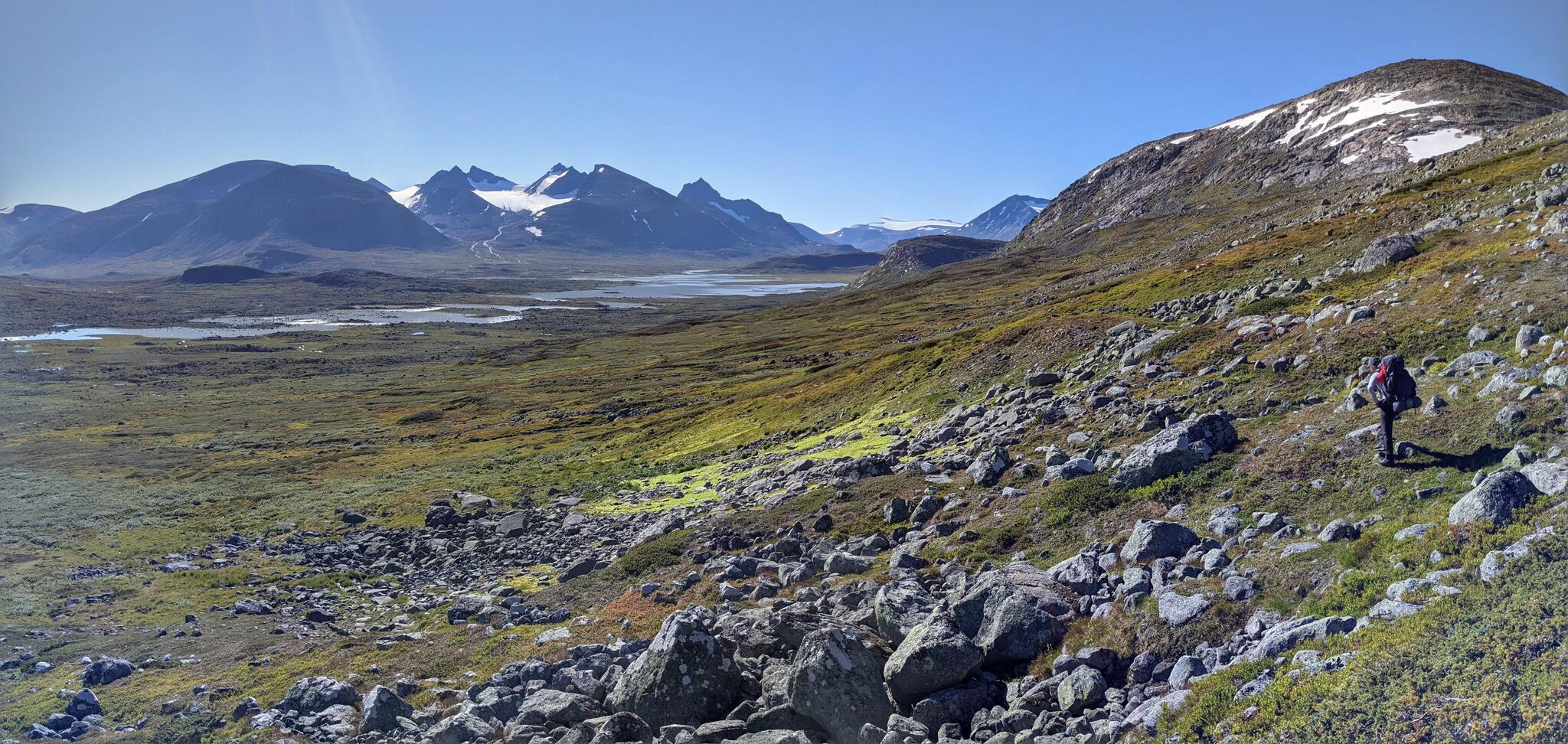
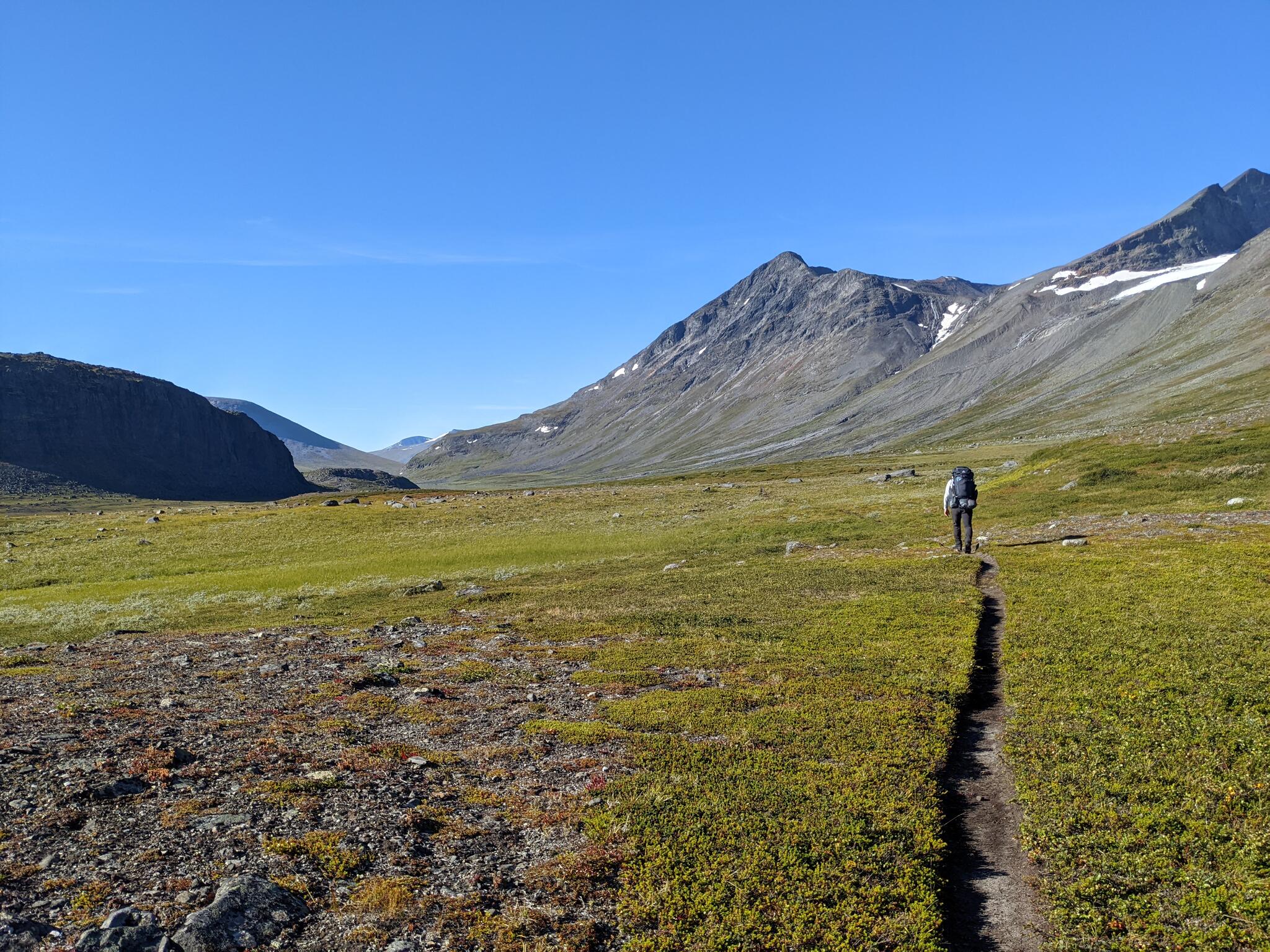
At Mahtujagasj we join the lower path and arrive at Skarja without much effort. The weather has become quite windy so we take shelter from the wind while we eat our breakfast. We have only seen very few people up to this point, but there are always people transiting through Skarja so there are quite a few around. After lunch, we continue west in Guohpervagge. There is no well-defined path here, or at least we did find one, but the terrain is very easy to walk. The view back towards Rahpajahka and the Sarek massif is magnificent. The wind produced clouds with very interesting shapes which makes the landscape even more interesting.
The Sarek massif and Mihkajiegna as seen from Guohpervagge.
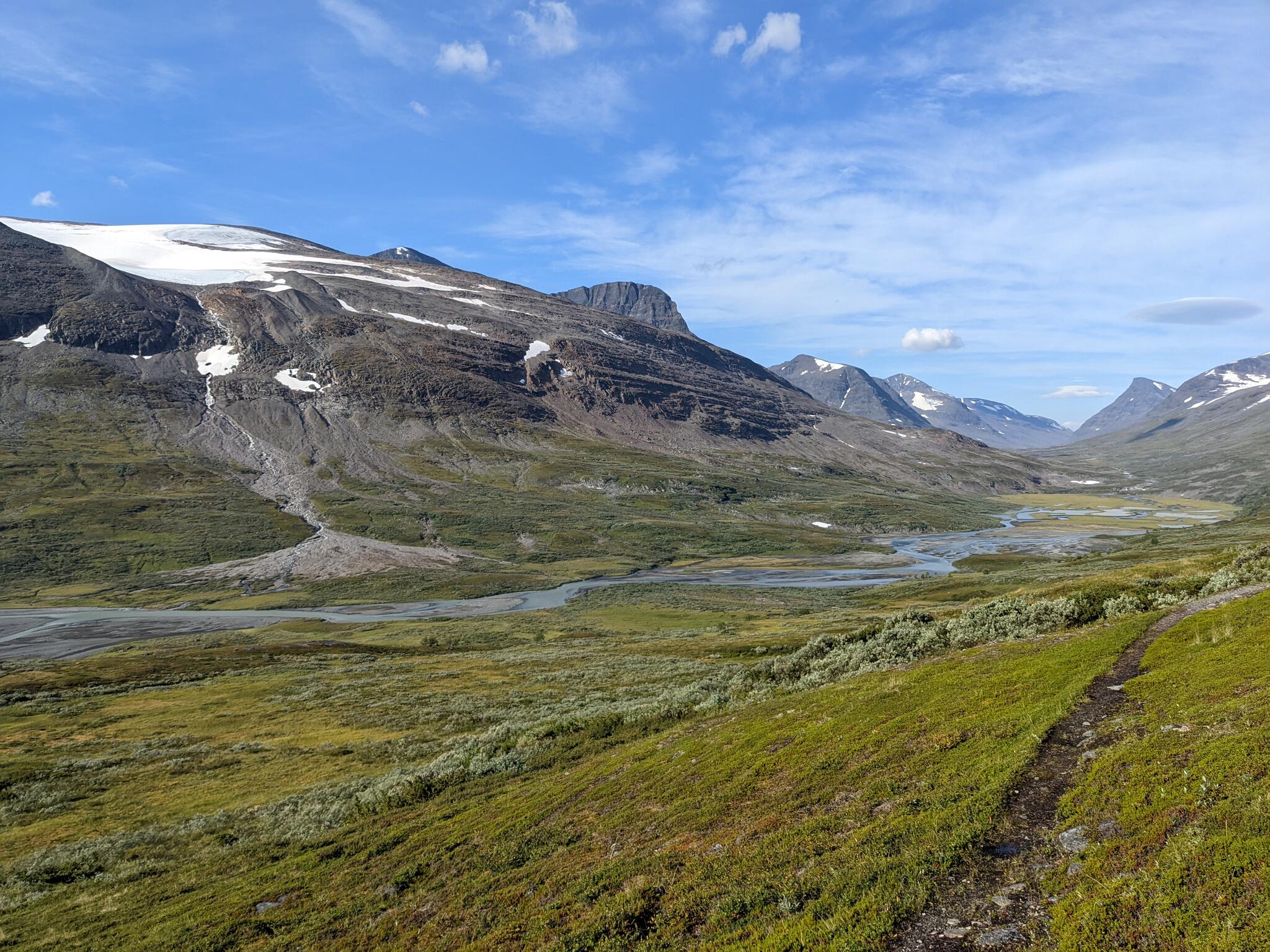
After an easy hike, we arrive near the intersection of Guohpervagge and Alggavagge. This is where we plan to cross Guohperjahka to continue up towards Alggavagge. I am still quite confused about where to cross here. The map seems to suggest a place right next to the confluence of Guohperjahka and Ahkajahka, but even from a distance, the river seems quite deep here with a steep bank on both sides. Instead, we choose to walk a bit further and cross at a place where the river widens and breaks into several different channels. Some of these channels are quite deep, but the water still remains below waist-deep and so we cross without any major difficulties.
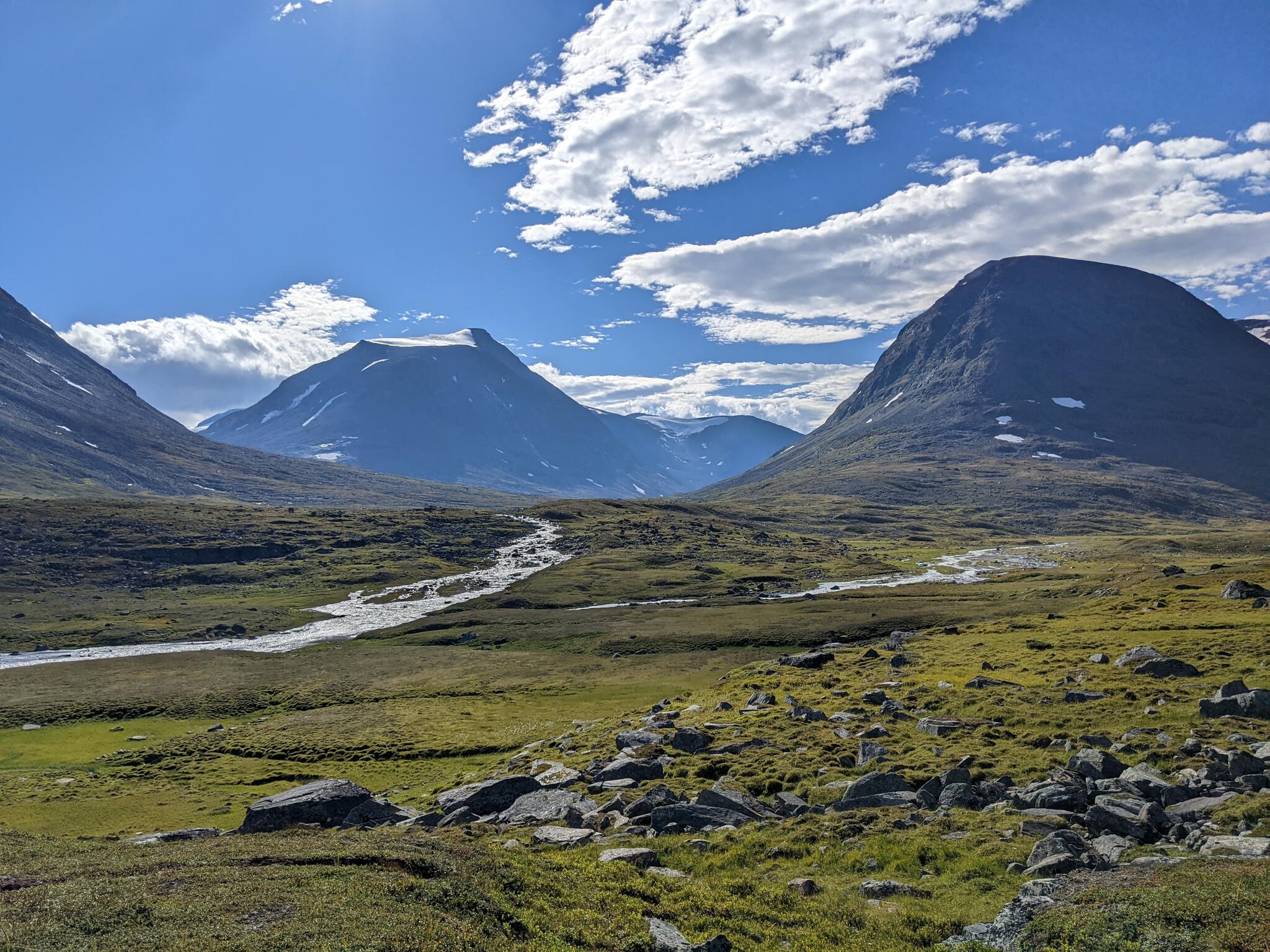
The meeting of Alggavagge with Guohpervagge as seen from the north edge of Guohpervagge. We crossed Guohpejahka at its widest part on right-side of the image.
After the crossing, there is a small uphill to Alggavagge where the view opens up. The terrain is waterlogged at the beginning of the valley, but we soon discover that there is not much water in Ahkajahka and so we can easily walk on the exposed riverbed. We plan to cross the river and camp up in Ahkavagge in preparation for a summit attempt. In hindsight, we should have crossed Ahkajahka near Algganjalmme as the closer we get to Ahkavagge, the stronger the river becomes. When we eventually attempt to cross the river is quite shallow, but the flow is so strong that you can hear the rock being carried along. This results in a painful and difficult crossing, but luckily without falls. We find a suitable tentsite at around 920m where Ahkajahka cuts through the rocks creating amazing formations.
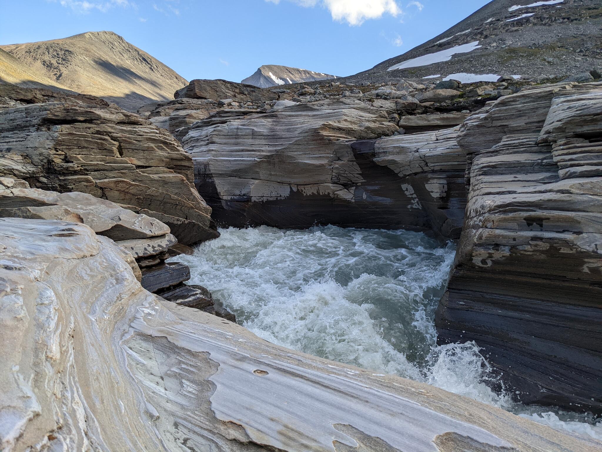
Ahkajahka cutting through the rocks.
To be continued...


Very interesting to read. In particular for an old man now living of memories. :-) Reading this and looking at your wonderful pictures take me back to the hikes I have done in that area. I, and many others, have also hiked from Suorva to Kvikkjokk. But there are many various routes to choose from.
I do look forward to the next part of your story.
Thanks for sharing!
Very interesting reading and well recognized and beautiful views. We hiked the same route but from Kvikkjokk to Suorva just a week or two before you in August 2022. I'm looking forward to the next episode.
From your gas calculations, we normally calculate with 8-9 days with a 450g canister for two persons. So for our trip which were planned for 11 days, we selected one 450g and one 230g canister (optimized to carry as little metal as possible).
Wonderful pictures and interesting to follow your hike.
Nice to read your thorough and detailed description of your journey through this part of Sarek! Several nice and beautiful photos too! Your comments about rivers and paths are interesting to read. The path in the beginning, from Suorva through the forest, is obviously not well defined. Actually, I think it's under continous change. It starts with the path for snow mobiles, but in summer not all of that path is useful so people has made other choices. Therefore some new paths have been made.
The paths which are drawn in the mountain map are sometimes weird. They have been on the maps for many decades and have not - as far as I know - been updated (except what has been done by the company who prints the paper versions, Calazo). That may explain some strange crossings over "jokkar", etc. Consider the paths in Sarek that Lantmäteriet provides as partly guessings, made long time ago. Sometimes a guide book may tell you something better. If not, use your own judgement (as you did)!
Thank you for writing!