Kerriya Shankou Part 2

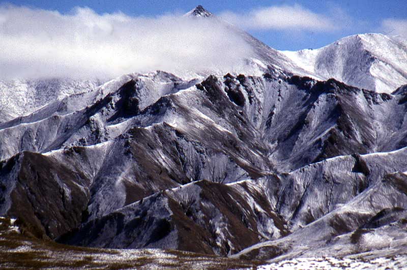 |
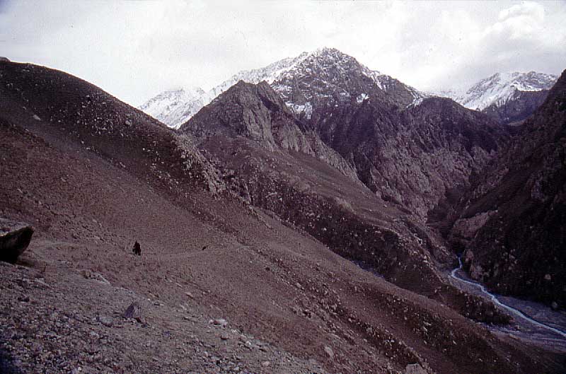
Range after range with beautiful, high and unclimbed peaks. A shame to be as wasted as we were, no food or energy to attempt any climbs. |
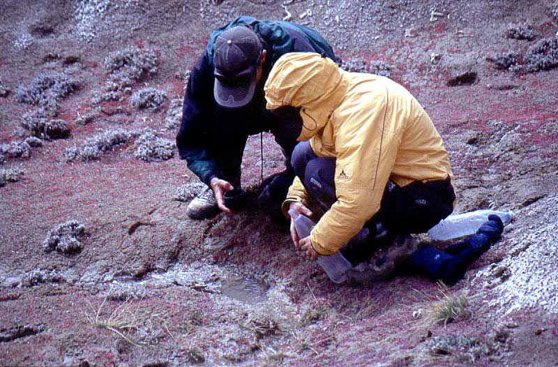 |
A big plain ahead. It looked very dry and had been named "death valley" by a climbing expedition. We filled our water bags to the brim. |
 |
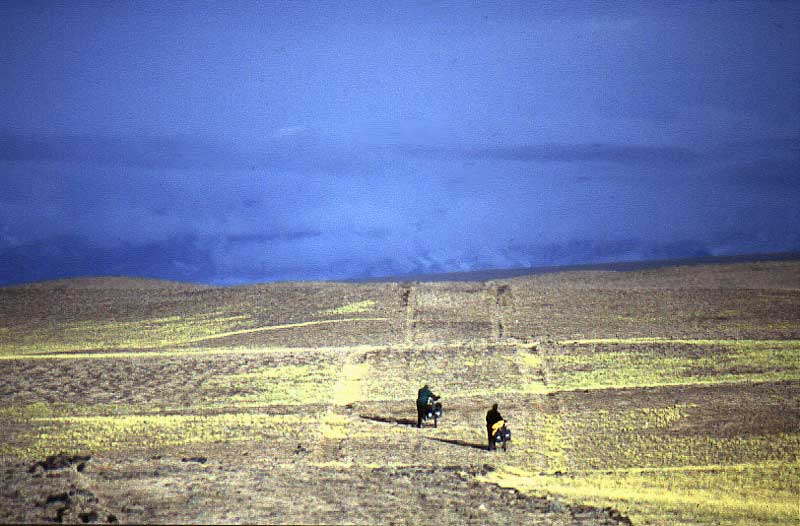
The plains had had a tendency to
get muddy as soon as the sun came up. We decided to avoid that and
started very early in the morning.
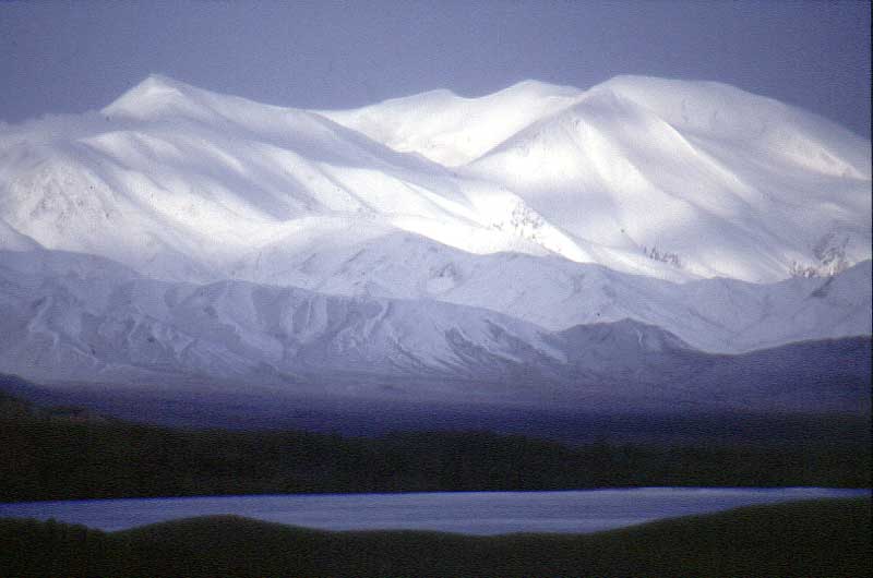
Mist over high peaks. Salt lakes in the fore ground. |
 |
The sun hit us and I thought it
would be a real hell day. Big black and dark blue clouds made the
situation worse. Mud was the last thing we wanted.
We were lucky, the sun disappeard, the clouds and the thunderstorm never hit us. |
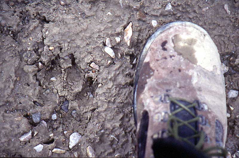 |
A huge wolf track. Quite a lot of them in this region. |
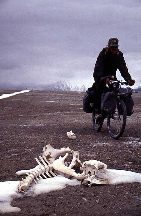 |
Death Valley. Started to realize
why. Skeletons en masse. Hundreds and hundreds of them all over the
plateau, mostly from donkeys and some sheep.
I thought I also saw human remains in some plaecs, but never told the others. No reason to make the situation worse than it was. |
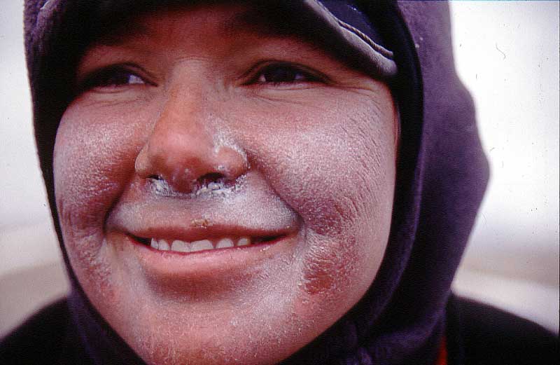 |
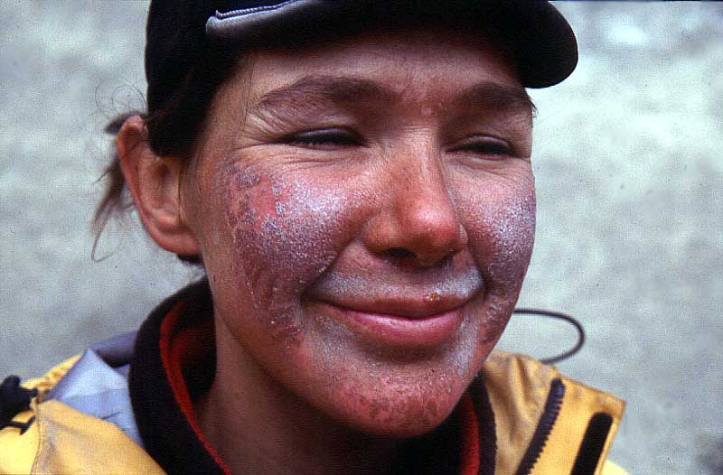
Our faces got worse.
Nadine's full of caked zink paste that had grown into the skin. |
 |
My lips were a mess, couldn't smile or even talk sometimes without lip bleedin as a result. |
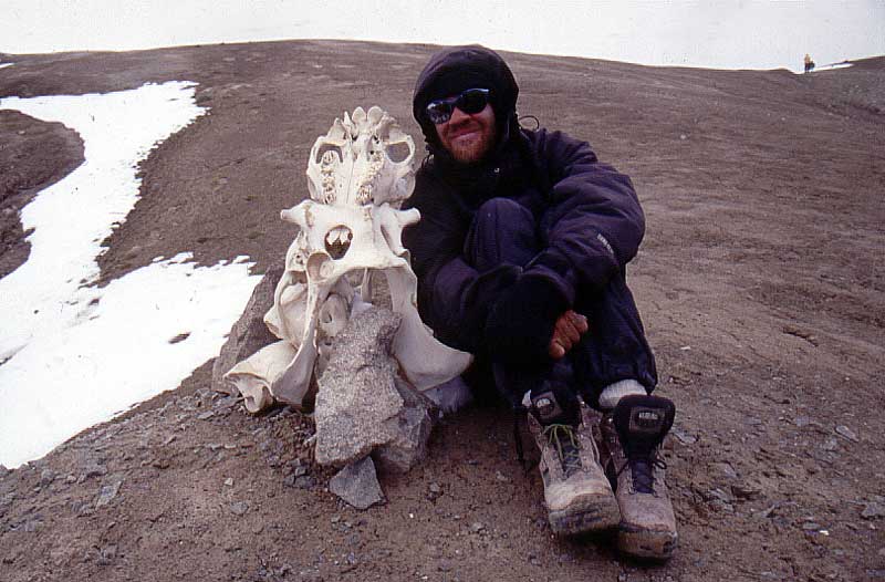 |
Skeletons, even as help to find the direction to the next pass. |
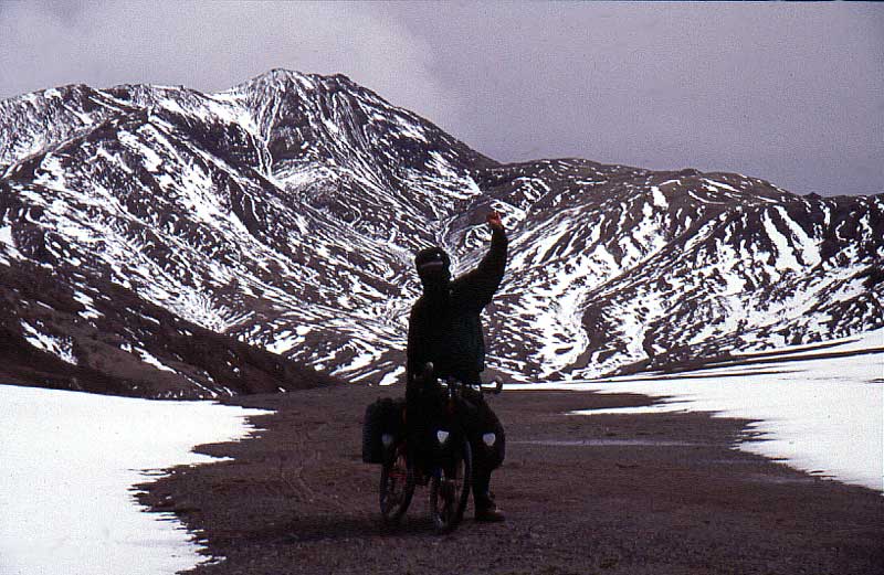 |
Martin makes a gesture he
probably regrets later on. "It's only downhill from now on"! Yeah, right. But not as in normal downhill. This was actually where the situation got much worse. |
 |
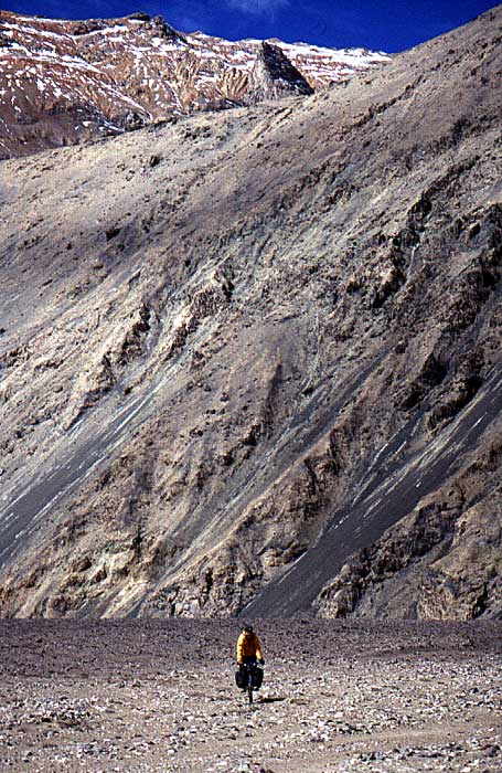
Down towards Aksu river valley.
Steep.
Due to tensions within the group, we separated from Martin. |
 |
I had had lots of bad feelings
looking at the contour lines on our maps. They were almost on top of
each other and I had expected pure hell in the Aksu river gorg.
Positively surprised when we were able to cycle OK. |
 |
The positiveness didn't last
more than an hour. A small stream and loads of big rocks made it rough. |
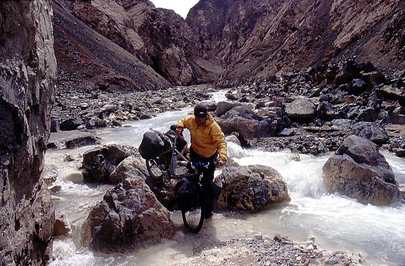 |
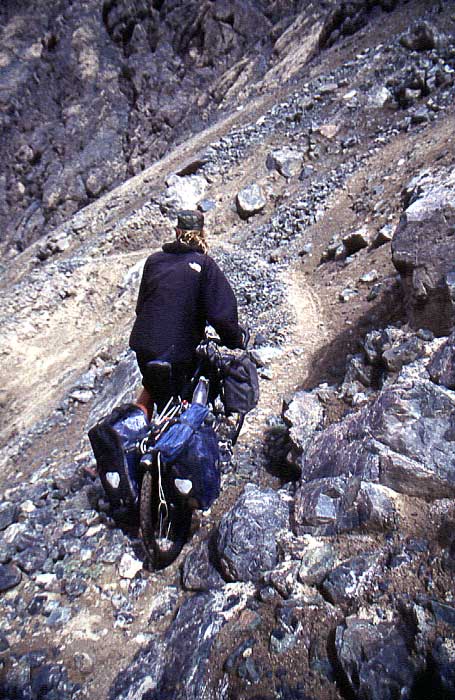
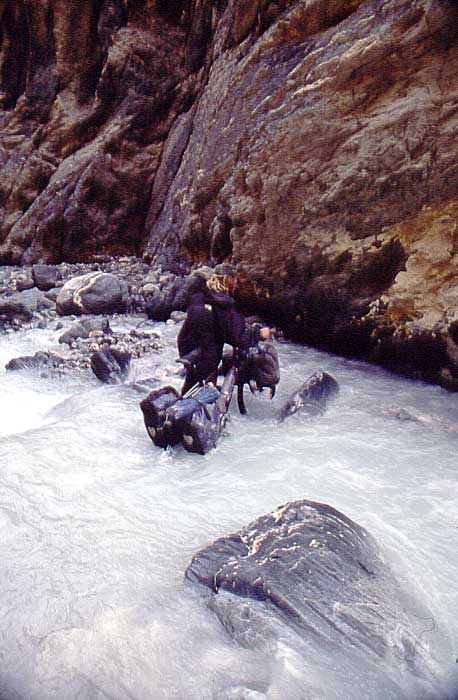
In the beginning it was quite negotiable, even though, wet feet from crossing the river was annoying and progess was very slow due to difficult navigation in between the big rocks. |
 |
First day in hte gorge look pretty much like this from morning until night. |
 |
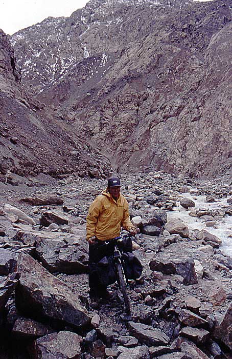
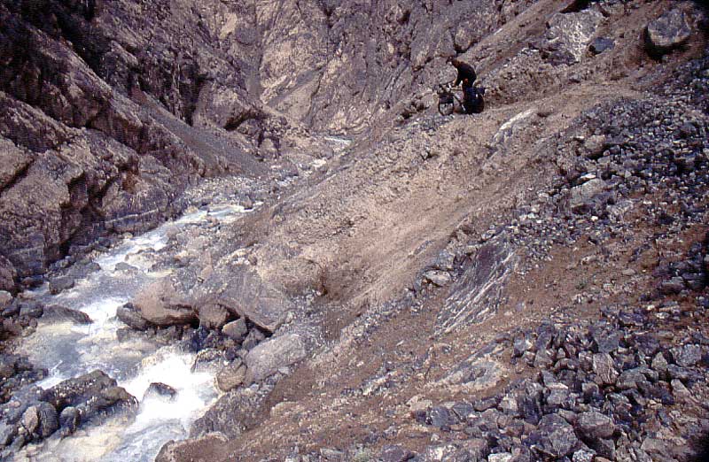
Second day got worse. The river got wilder and harder to cross. There were some tracks on the sides and sometimes it was a good idea to follow them, sometimes not, and it was definitely more dangerous than the river at that stage. |
 |
The potential fall in this place is not that high, 5-6 meters, but it's enough to break a leg or worse. |
 |
Sometimes there were no tracks whatsoever. |
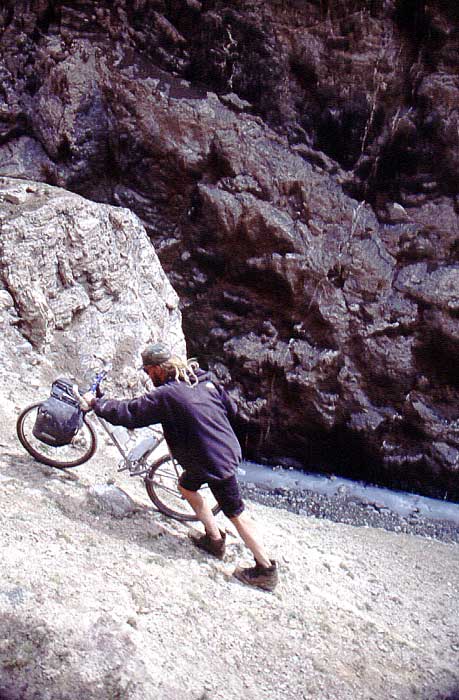 |
The main danger walking up high was of course the risk of falling. In this place the I'm walking 30-40 meters above the river on a precarious sandy ledge. |
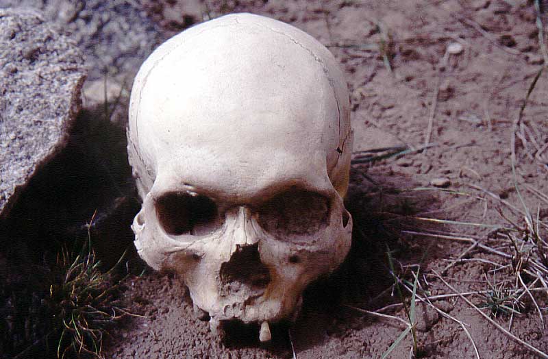 |
Was slapped in the face by
reality, time and time again in the gorge. Everyone didn't make it. More human remains made me feel vulnerable. R.I.P |
 |
The river got wilder by the day. Harder to cross. |
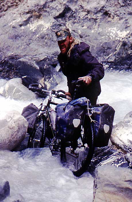 |
I guess my facial expression says it all. |
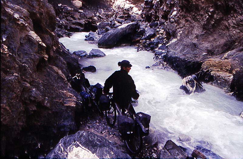 |
Which way to go? Reconaisance took a lot of energy. Day 4, river more and more dangerous. |
 |
110 meters above the river. Had
to walk up high in some parts in order to avoid a section of wild
rapids. No photos from the last day in the gorge. To preoccupied to survive. Had difficulties to cross the river in the end.
|
 |
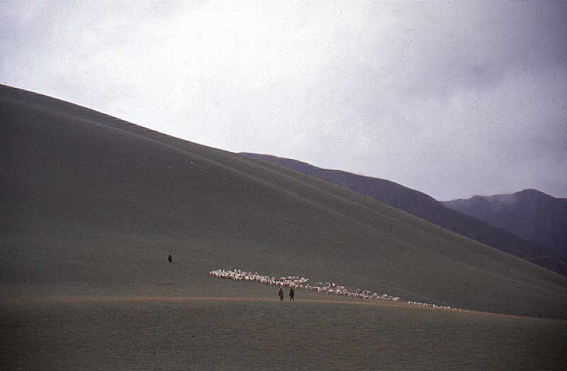
We had started to starve. Lived
the last day on electrolytes and water. I had started to think about killing birds and lemmings. Was really happy to see sheep. It gave us an indication we were close to civilization...and if worst came to worst...there were food around. |
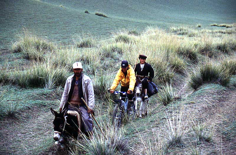 |
Just before Pu Lu we met some very nice shephards who gave us a piece of bread. My mouth was bleeding a lot when chewing something solid, but it was wonderful. |
 |
The sharp and barren mountains were left behind in the rain. Lucky not to be hit by heavy rain the last couple of days. |
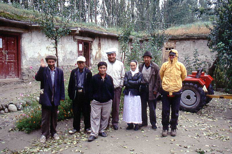 |
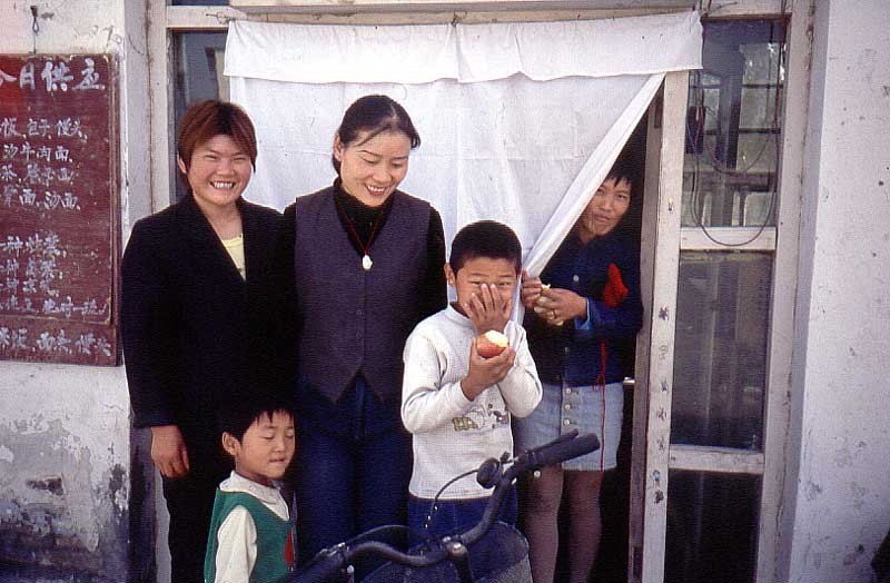
A very warm, but surprised
welcome in Pu Lu. Ate for two hours and continued to cycle towards
civilization.
Were informed that Martin had left the day before on a truck towards Yutian. |
 |
Rain, a flat (none on the Chang
Tang!) and a big smile.
It felt wonderful to have a full stomach and roads to cycle on again. Another great thing was to have some company. |
 |
Sandy and wet. Full speed towards the lowlands. |
 |
Nadine's face hadn't healed yet and at times we were a bit worried it would stay like that forever. |
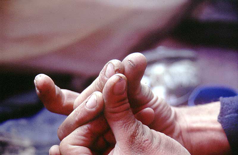 |
My hands were a mess. Lots of
cracks from the high altitude and exposure. Every time I touched anything, the pain was intense and it was always bleeding somewhere on my hands. |
 |
In Yutian I realized I had lost 11kg, but
feeling great in general. The restaurant owners laughed a lot at our insatiable apetite. Spent a lot of time in their place. |
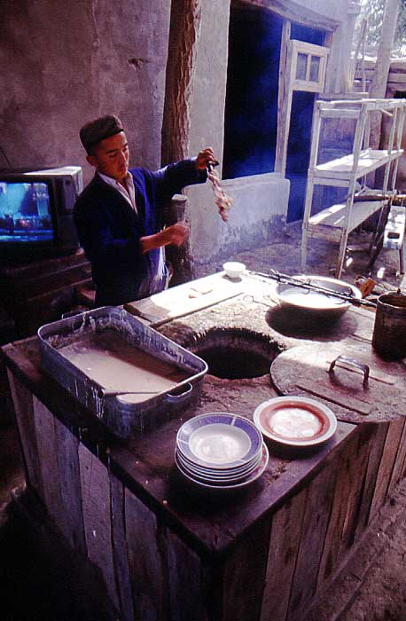 |
And when we weren't there, we stuffed ourselves in other eating places. Here in one of the best Uighir hangouts. |
We had huge difficulties to decide what to do next. At first, we felt like we should forget about crossing the central Chang Tang, but that changed quickly. It was not realistic, but we wanted to. We had no longer any maps or a GPS (Martin's stuff) - we could've expressed it in to China perhaps, but we were very unsure about the Chinese customs letting tactical navigation charts and GPS go through. Our gear was a mess. I had to super glue my derailleur into the frame already in Death Valley, Nadine's back rim was cracked, I had no bearings left in my pedals and so on. On top of that it was becoming late in the season and - 30C and lower would've been the case.
Quite depressed, we decided to head for The Trans Taklamakan Highway instead and finish off the journey with some riding in the Tian Shan.
The Chang Tang will be there in 2003 and there is no doubt that we'll give it a go then instead.
Till nästa del av resan - Trans
Taklamakan Highway
Tillbaka till huvudsidan om
Xinjiang 2002


