Kerriya Shankou
After missing the turn off, we continued to Sumxi to ask some locals. No one knew about the "road" towards Kerriya. We turned back and found the turn off, excactly where I remembered it since 1997. Couldn't possibly understand how we could've missed it the day before.
 |
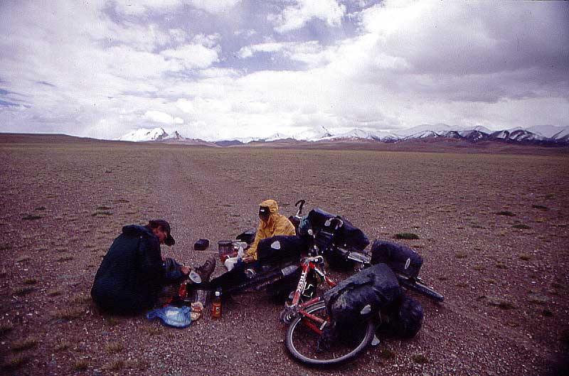
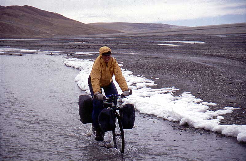
We left the main road and the real adventure
begun.
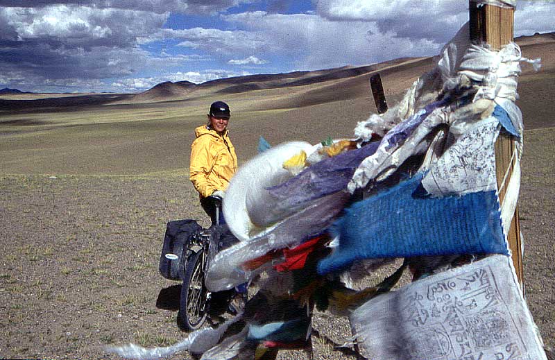
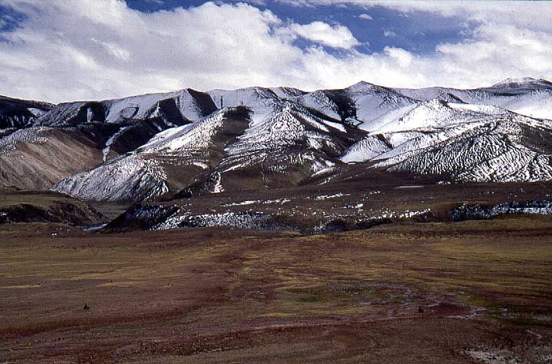
This is pass is the last one with a pass marker and prayer flags. From this day on, there were very few signs of civilization whatsoever. |
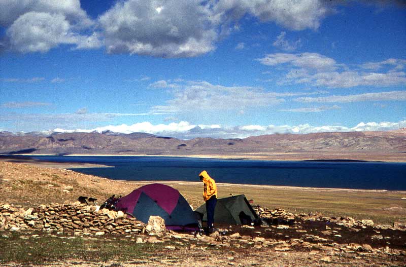 |
A camp at one of Xizang's blue lakes. |
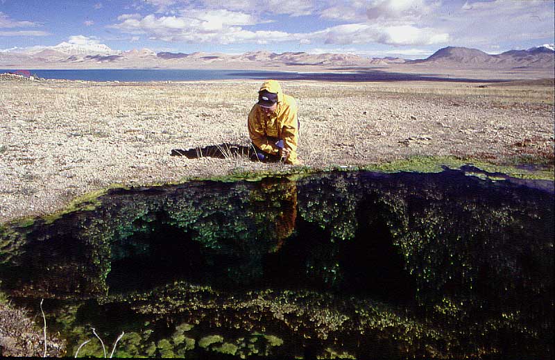 |
Ponds with hot water. They seemed to be bottomless. We dropped small stones in this one. Watched it sink through the crystal clear water until we couldn't see it anymore. |
 |
One of the few times I've been sitting in the
middle of the "road" I'm traveling on, feeling safe. |
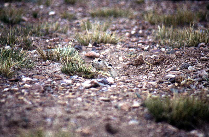 |
The cute little hole makers you'll find all over the area. Sometimes they are a real plague in terms of perforating the ground, to a point where it isn't possible to cycle anymore, wheels cutting through the ground into their catacombs. |
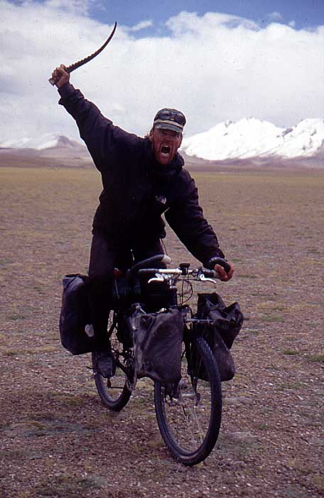 |
Antelope horns all over the place.
The barbarian viking genes in me was awaken. |
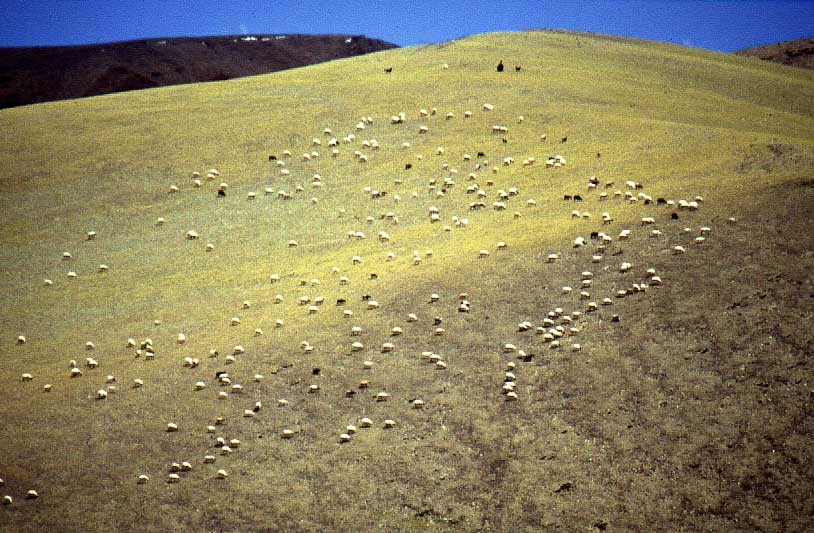 |
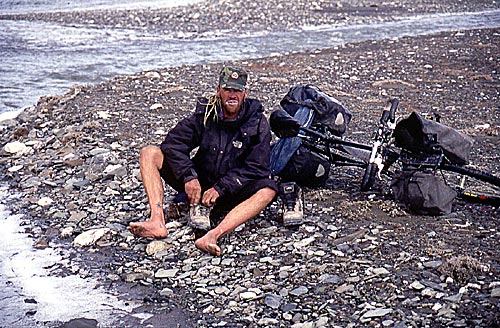
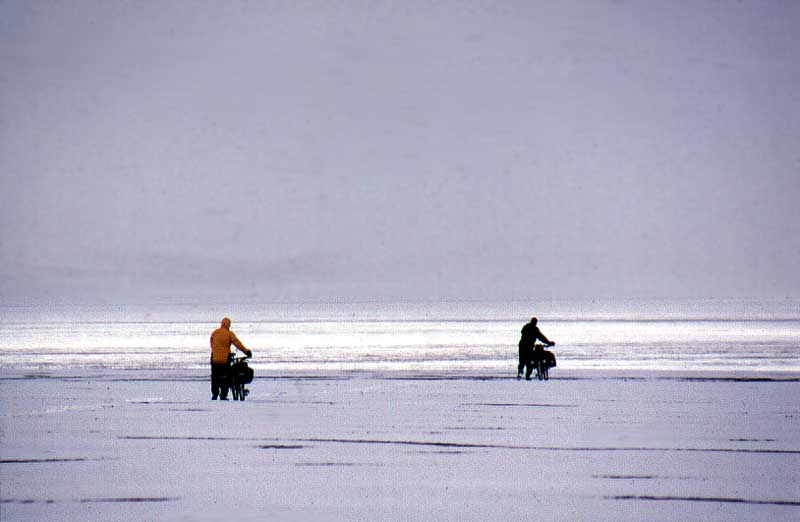
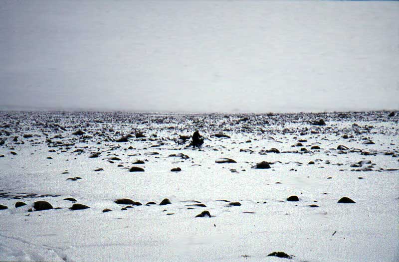
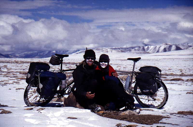
The last humans we saw in 15 days. |
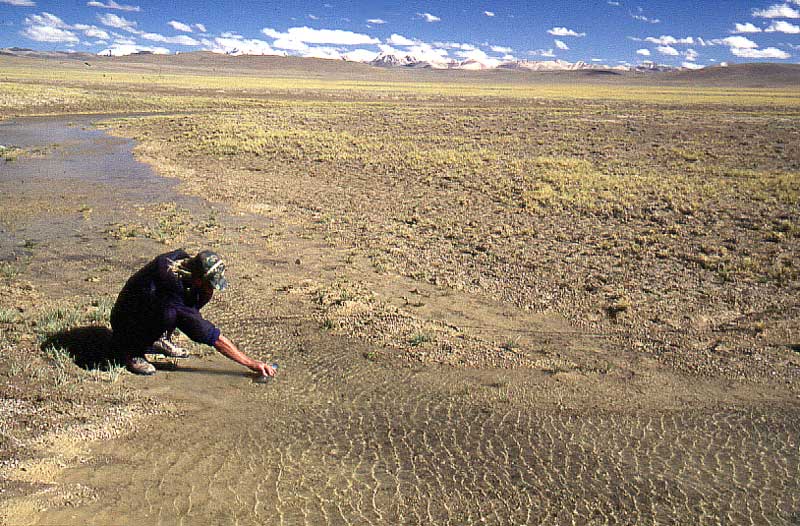 |
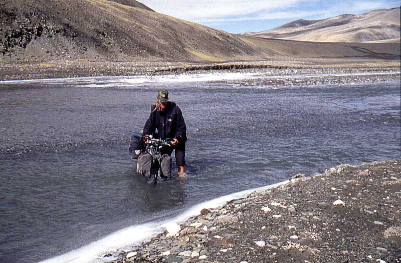
We didn't have much trouble to find water, but
it was always better to play it safe and we usually filled up our bottles
when we had the chance to do it. Here in a little pool of fresh water. |
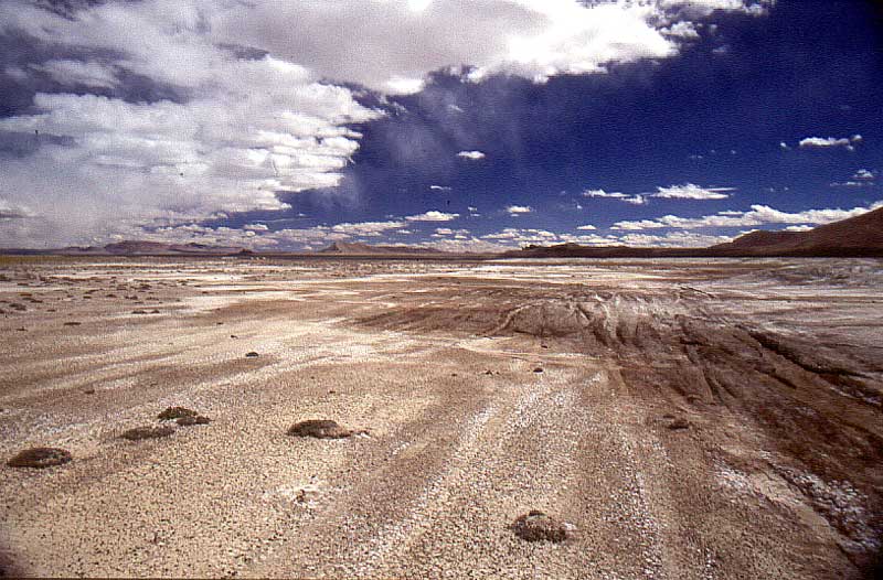 |
The last tracks. Most stopped dead here, some
doubled back from where they came from and some lead straight
towards the heart of the mighty Chang Tang. Intrigued to make a go for it!
|
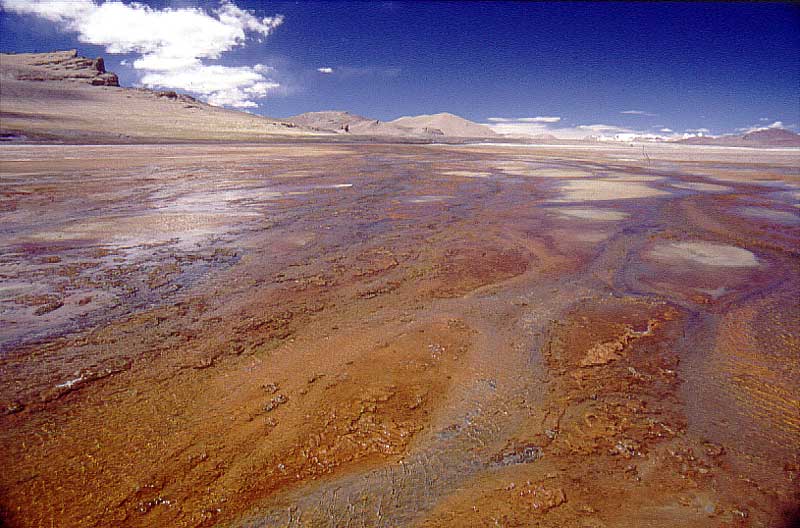 |
A red and strange smelling spring. Probably lots of minerals in the water around here. |
 |
A new sensation - to walk up and down a 5300 m pass in river beds. |
 |
We had hoped for some sort of tracks on the other side of the pass, but nothing cyclable was to be found. Too muddy on the sides, Nadine found the only good way to do it - to cycle upstream in the river. |
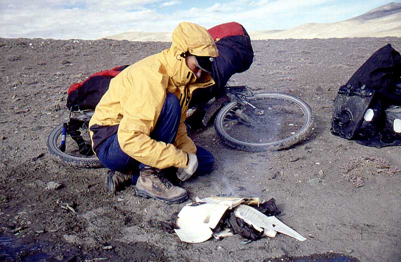 |
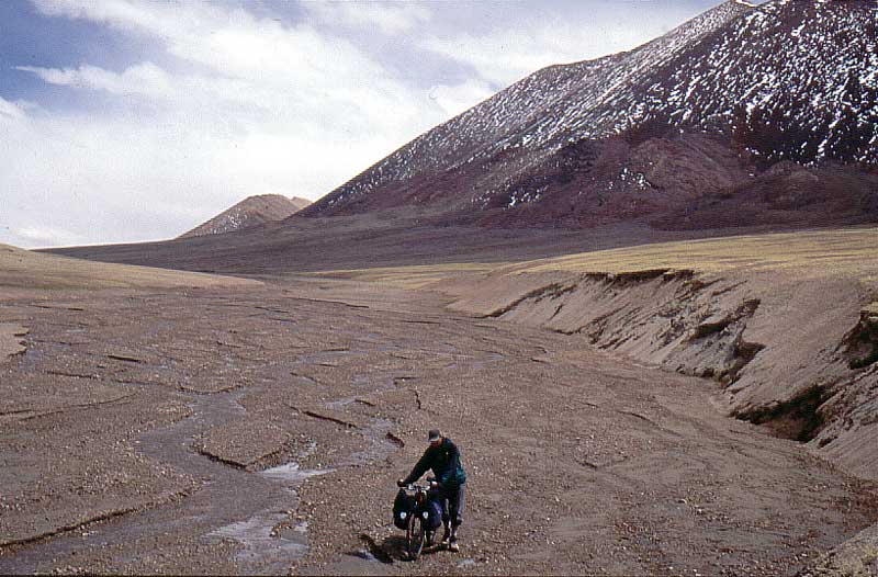
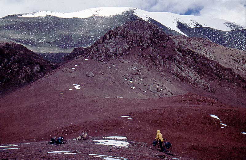
We started to feel the
seriousness of the situation. No roads, a long way to civivlization,
none of the roads promised by the "mountain guides" in Kashi,
a fast disappearing food supply and rougher conditions by the day.
Burning some gear we didn't need. |
 |
Not a favorite occupation in the morning. Off with the shoes and socks and into the cold river. |
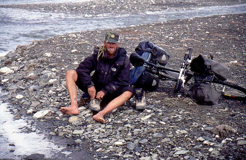 |
Trying to get some circulation back. |
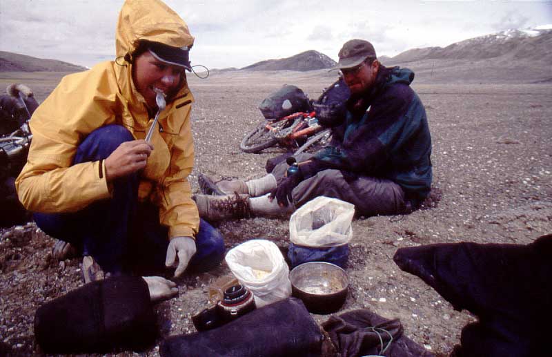 |
Tsampa - the stuff to bring. Not
that it's good in any sense, but it keeps you going and has quite a high
content of nutrition. We mixed it with anything from lemon electrolytes and blueberry soap, to noodle sachets, milk powder and yak cheese. Good stuff Nadine reckons, Martin doesn't agree. |
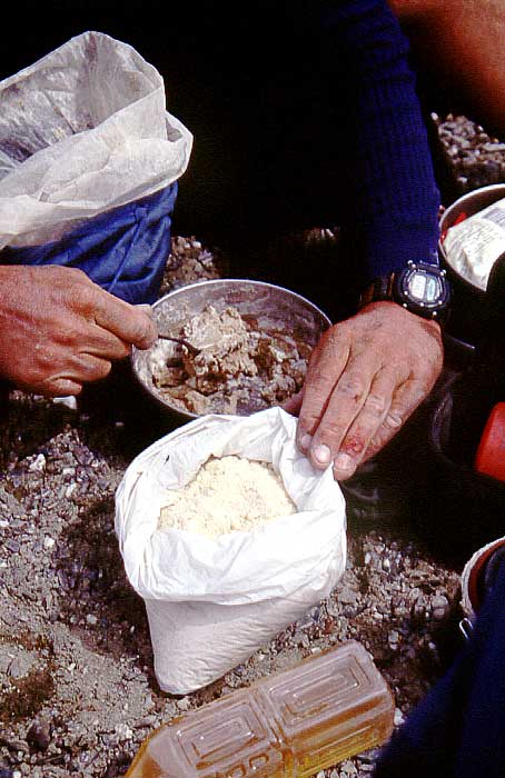 |
Fixing the dinner, hands bleeding all over the place. If you get a crack in these conditions on high altitude and in very dry air, your wounds don't heal. |
 |
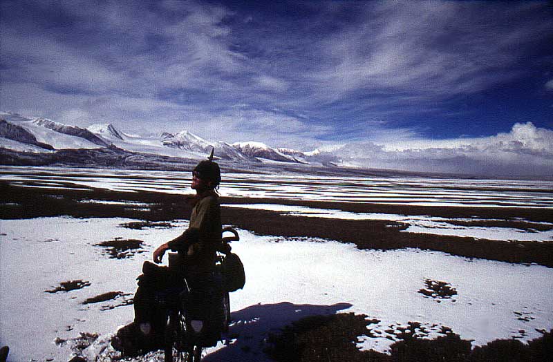
Our guide towards Kerriya Shankou. The mighty river we followed up to an altitude of 5450 m before heading north and the pass. |
 |
The pass itself was not a pass in
the tradtional sense. Just some hills at the foot of a huge glacier. We
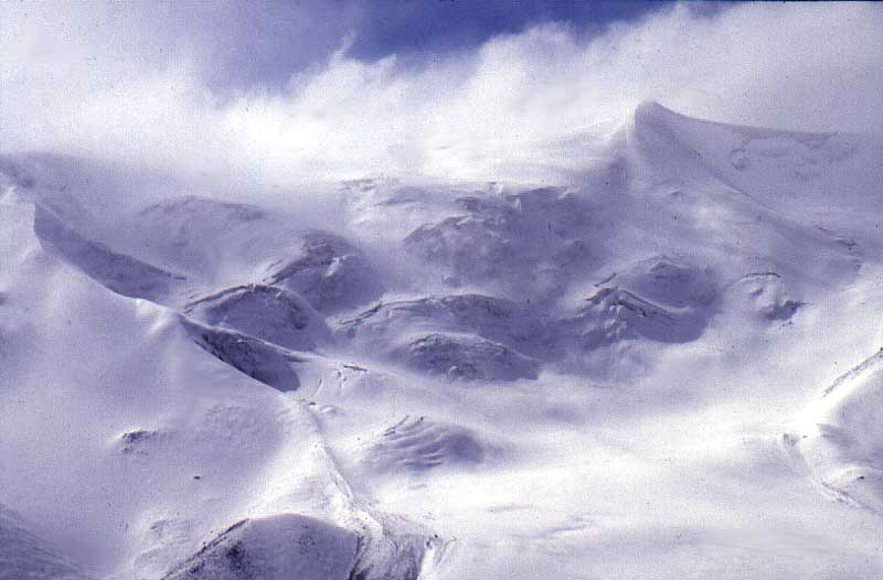
camped at the southern brink of the Kunlun Shan and a minor blizzard
brought snow and cold weather overnight.
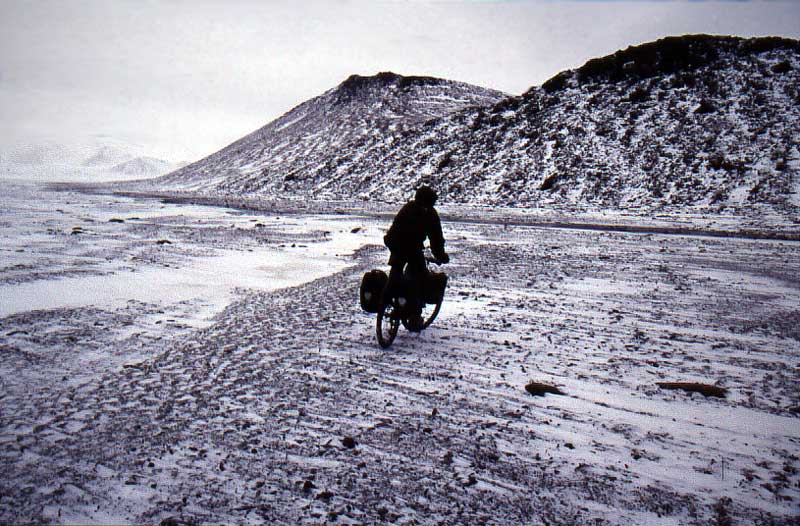
In a way we were quite happy about the freezing temperatures. We could CYCLE again on the frozen ground. |
 |
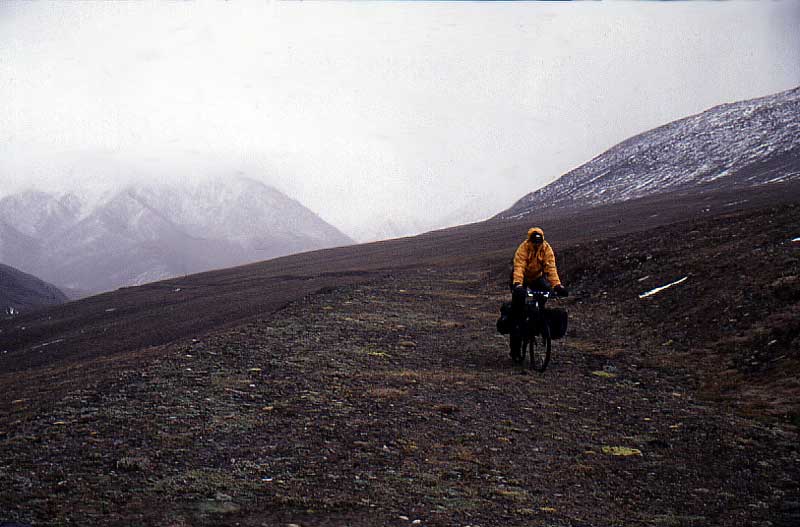
Sometimes we had no real clue what we were heading into. Snowfog and bad visiabillity made the walk in the high valley a mysterious undertaking. |
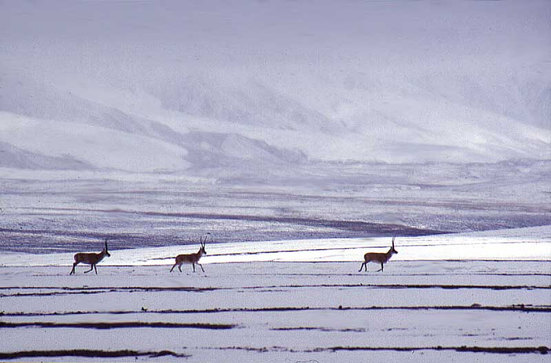 |
Big herds of chirus was our only company. At one point a saw a group of 65 animals. Up here on altitudes over 5500 m they were probably safe even for the most hard core Tibetan poachers. |
 |
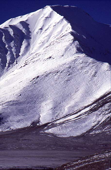
All of a sudden the sun appeared and we realized we had a range of 6000-7000m mountains close by. We were crossing the Kunlun! |
 |
The temperature rose over 20 C in a quarter of an hour. Basking in the sun. |
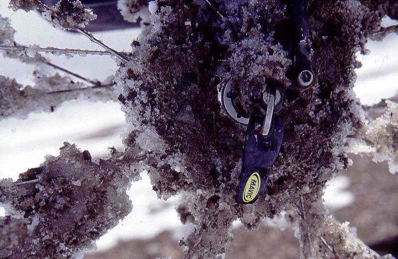 |
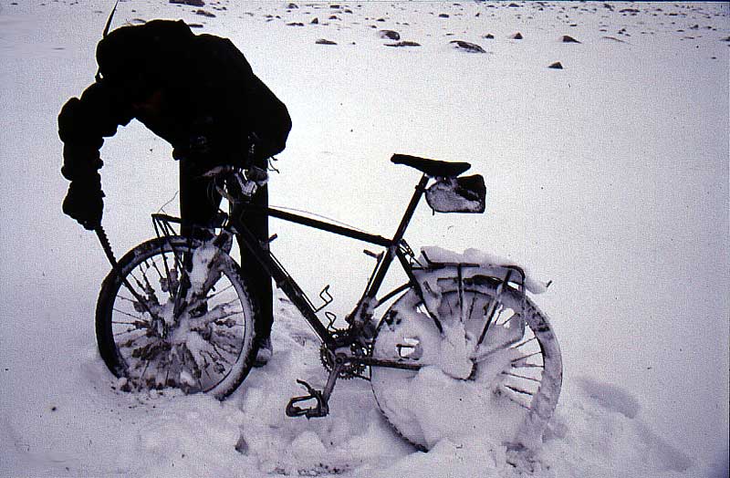
Which of course was nice in some
ways, but not in all...
My hub. |
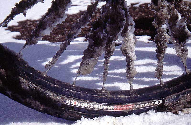 |
My spokes. |
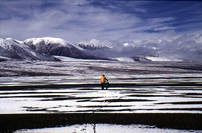 |
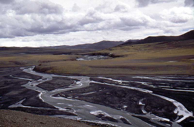
We realized we had to go for it. The whole valley was transformed into a big field of rivers, mud and melting snow. |
 |
Steaming on 5500m. |
 |
We made it to some higher grounds
in time and also avoided a blizzard which had been on our heels all day.
It hit in evening and brought quite a lot of snow.
Chiru horns - what could be better than that to clear the bike from snow? |
 |
An endless walk started. More rocks, more snow, higher altitude and no real way to determine if we were on a good track or not. |
 |
Like the day before it cleared up in a very short time. |
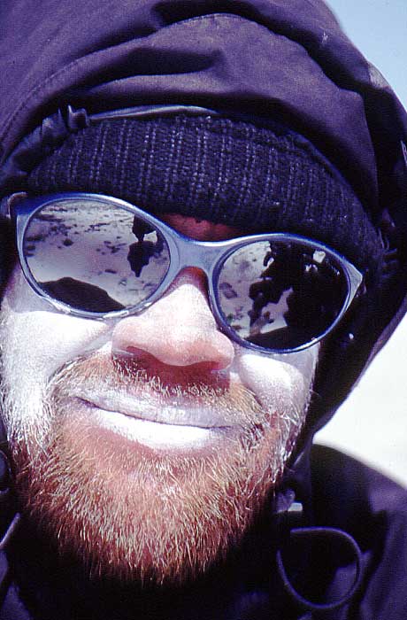 |
Zink paste or burn! |
 |
One of the highest spots I've been with my bike fully loaded - 5670m. |
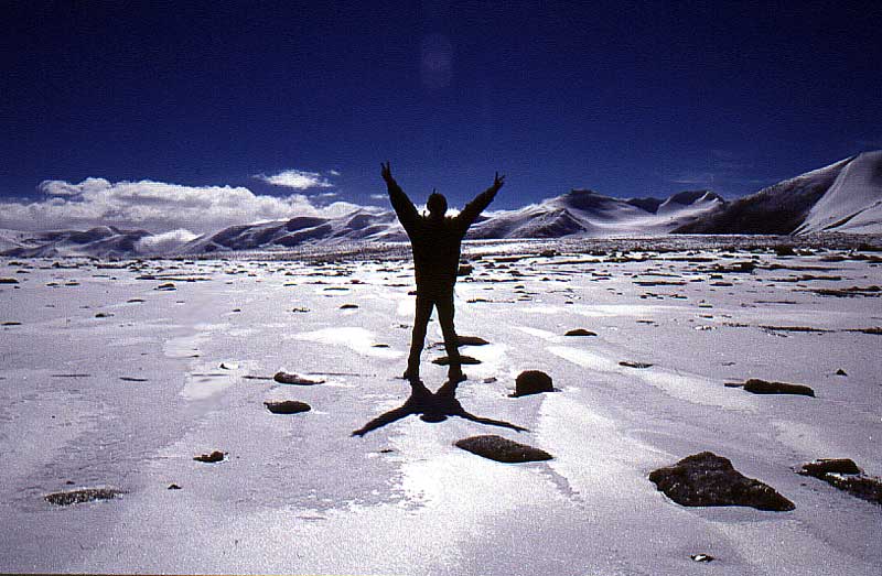 |
Victory!
Finally, after a day on altitudes ranging in between 5500 and 5685 m it started to drop in front of us. |
 |
A perfect downhill. The snow was
deep enough to stop a too fast descent. Heading for the lowlands at
5400m.
We felt like we were back on sea level and I was walking around barefoot in the end of the day. |
 |
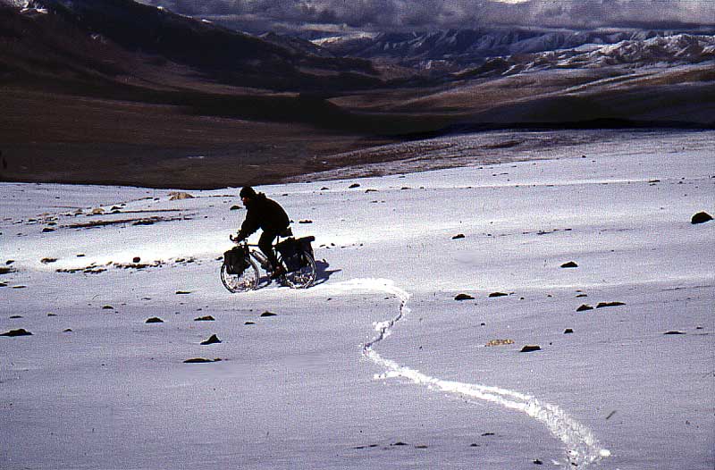
Glad for small things.
Found some tracks, probably made by domestic animals. We could actually ride our bikes in parts that day. |
 |
It was very important to choose the right path or direction. I had a tendency to stay high up on the hill sides, while Nadine and Martin rather walked lower down. Here, I'm watching them in a muddy area from above. |
 |
The worst pass ever for me.
"The Red Pass" or Kax Tax Shankou at 5555m. Very steep and
sandy. Took three-four steps, rested for half a minute, three steps etc.
Nadine arriving at the top and we realized we were on the right track for certain when seeing the little cluster of rocks. |
 |
"The P.O.W road".
Koumingtang war prisoners worked and died here constructing a road towards the highlands. Mao had plans for uranium and also to get a more direct link to the disputed areas higher up, i.e. Aksai Chin. A fantastic feeling to ride on a real road again. The road was never completed and fell into oblivion, even before any motorized vehicle ever traveled it. |
 |
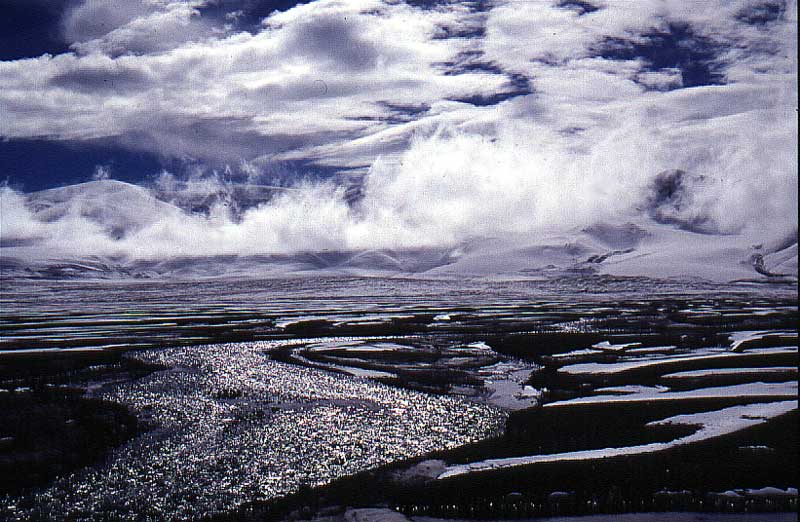
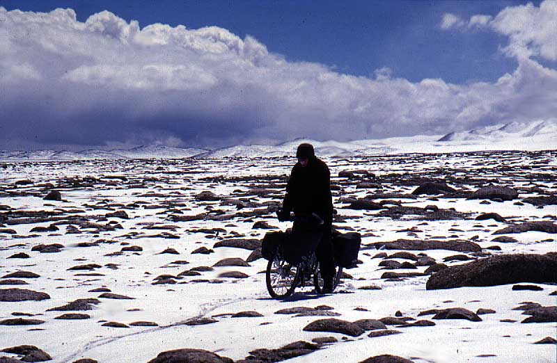
Gigantic mountains all around us.
Check out if you can find on Nadine on the photo. It'll give you a hint on the proportions in the area. |
Till nästa del av Kerriya Shankou
Back to Xinjiang 2002 start page


