 |
Already before we had arrived at the
"real" desert highway, the desolation and emptiness took over.
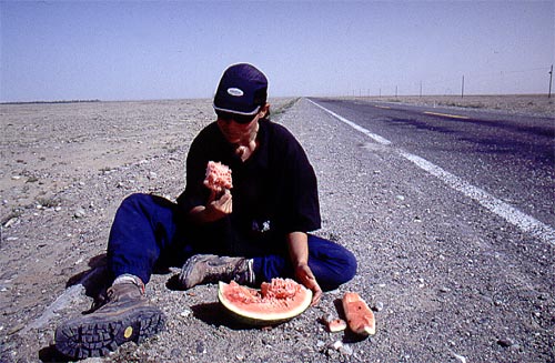
The photo taken in between Yutian/Kerriya and Minfeng on the southern
silk route. The perfect food for desert cycling - melon - full of liquid and energy. |
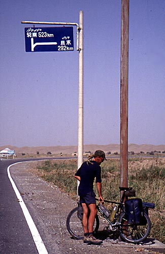 |
The turn-off to Luntai or Korla and the start
of The
Trans Taklamakan Highway. 523 km is the distance to Luntai. We choosed to go stragiht for Korla, which made the desert cycling approx. 700 km instead. It was hard to see the turn off towards Qiemo, the city where we had planned to start our journey over the Chang Tang. 2003! |
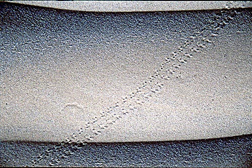 |
A small animal has ran over the dunes. |
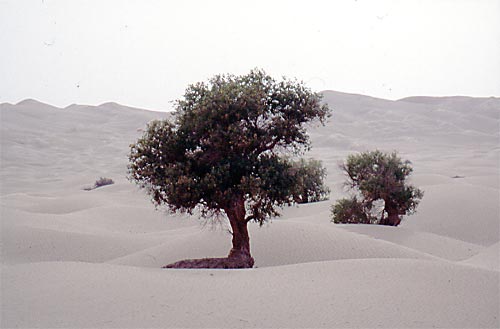 |
During the first two days we some bonzai looking trees which miraculously had managed to survive in the rough surroundings. |
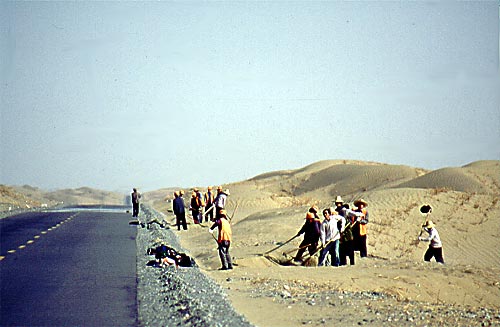 |
We asked ourself; how can this desert road be
absolutely clean from sand, when all other roads we've cycled have been
partially covered in drift sand?
We felt a bit stupid when the answer was clear. Of course! We were in China, where there is no shortage of work force. The road crews were sweeping every centimeter with their brooms. |
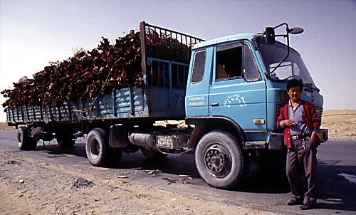 |
A truck full to the brim with carcasses, from goats, cows and sheep. Try to imagine the smell of that in 40 C. |
 |
Yihaa! |
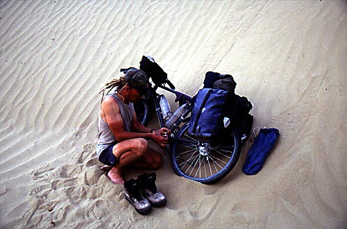 |
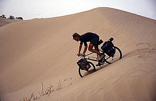
The sand managed to get into everything. On the photo I'm trying to get it out of the bearings of the pedal. |
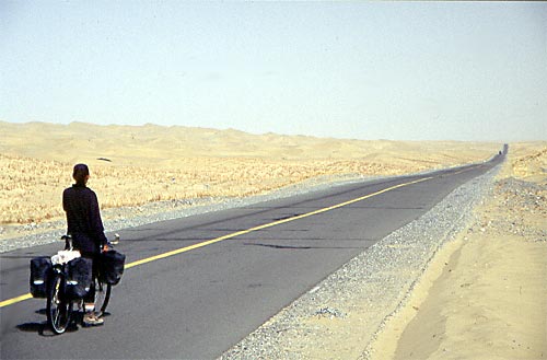 |
Sometimes you could see the road for 7-8km. |
|
|
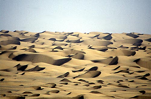
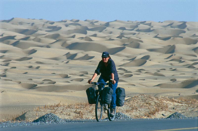
A sea of dunes - the heart of the Taklamakan. |
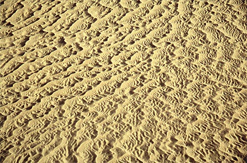 |
A pattern on a small dune. They came in all sizes and types, from a couple of cm high, to monsters at 60-70 meters. |
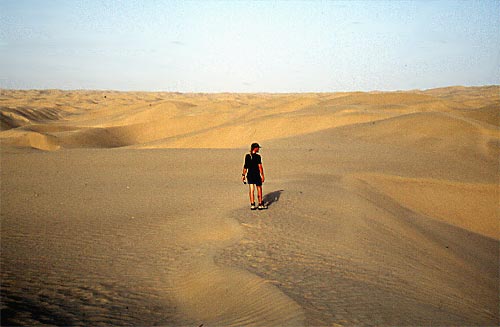 |
Lonely, silent and desolate. |
 |
The days went past and the landscape stayed pretty much the same - sand, sand, sand. |
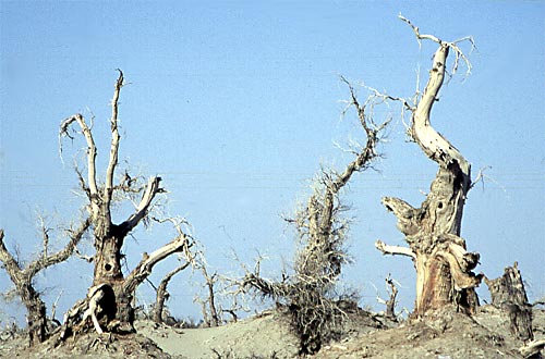 |
An area of dead trees was the first sign of reaching the other side of the desert. |
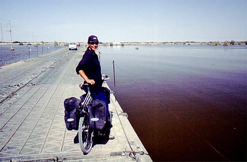 |
We could ahrdly believe what we saw. A sea of
water.
Massive flooding had struck the area close to the Tarim river. |
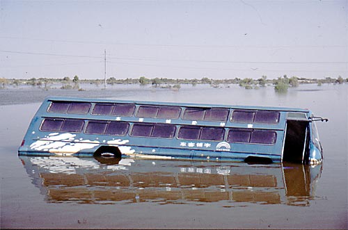 |
A vehicle which had drowned. |
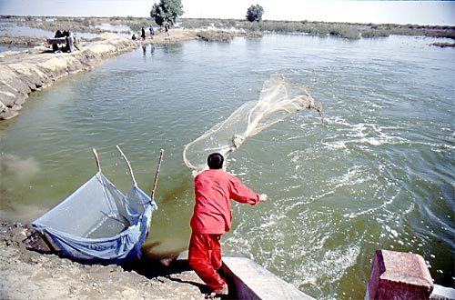 |
There are always two sides of everything and the oilworkers in the area were very happy about the flooding. Fresh fish on the table every day. |
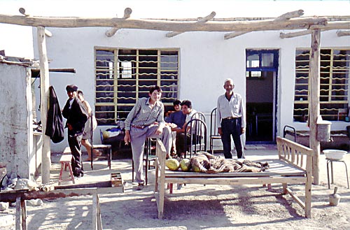 |
It became shorter and shorter in between our favorite places in Xinjiang - "The Melon Cafés". |
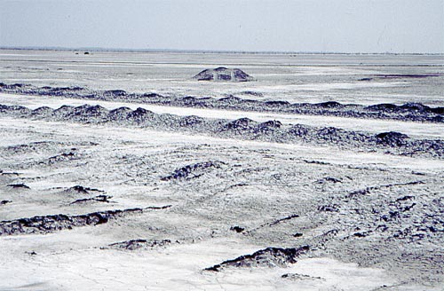 |
After half a day in the flooded areas another type of wilderness took over - the salt planes. It was like cycling in a black and white movie, no colors whatsoever. |
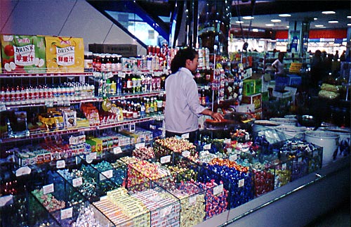 |
It became a bit of a chock to arrive in civilization. incredible amounts of things to look at all of a sudden. It felt like a very long time since we had been in a big city and it was. Last time we were walking around in full supermarkets had been in Kashi, months back. |
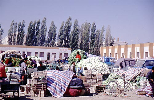 |
Mountains of vegetales. |
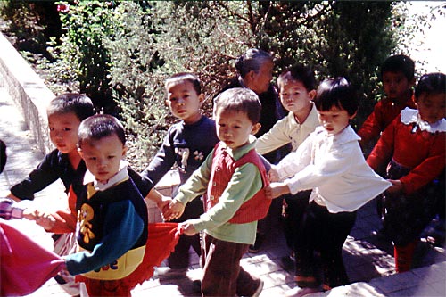 |
A class of children on their way to school.
|
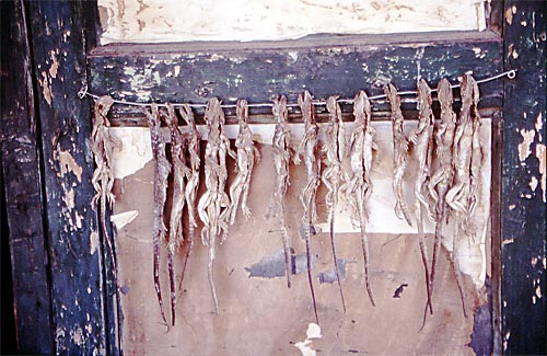 |
Dried lizards, standard version. |
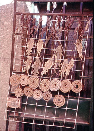 |
Dried lizards and snakes, the more luxorious flattened version. |
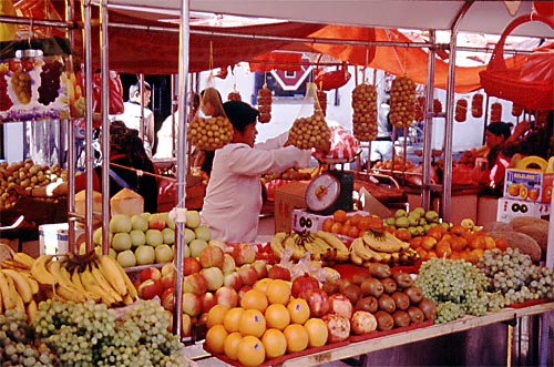 |
Fruit! A thing we really missed! |